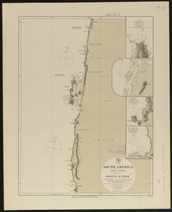
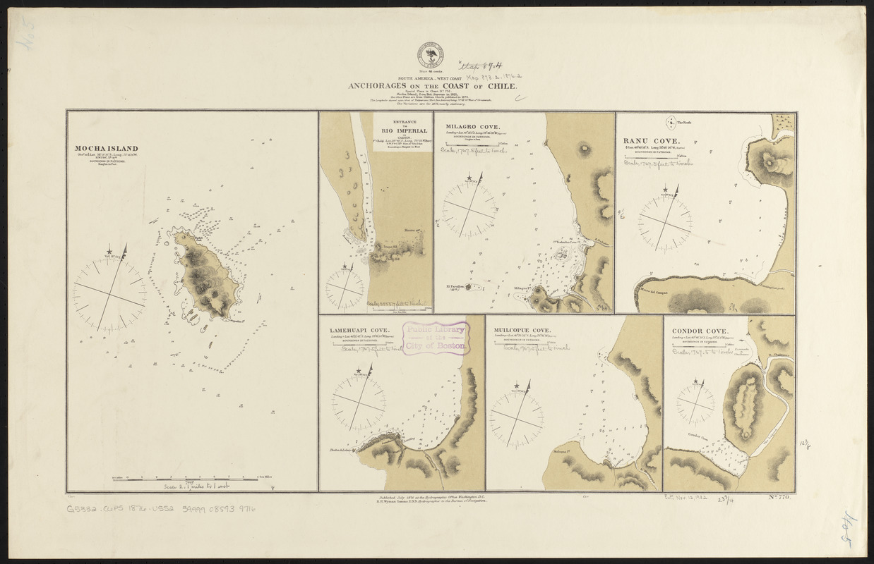
South America--west coast, anchorages on the coast of Chile : special plans to chart no. 751, Mocha Island, from Brit. surveys in 1835, the other plans are from Chilian charts published in 1872
Item Information
- Title:
- South America--west coast, anchorages on the coast of Chile : special plans to chart no. 751, Mocha Island, from Brit. surveys in 1835, the other plans are from Chilian charts published in 1872
- Title (alt.):
-
Anchorages on the coast of Chile
- Issuing body:
- United States. Hydrographic Office
- Date:
-
1876
- Format:
-
Maps/Atlases
- Location:
-
Boston Public Library
Norman B. Leventhal Map Center - Collection (local):
-
Norman B. Leventhal Map Center Collection
- Subjects:
-
Coasts--Chile--Maps
Nautical charts--Chile--Mocha Island
Nautical charts--Chile--Imperial River
Nautical charts--Chile--Milagro Cove
Nautical charts--Chile--Ranu, Rada de
Nautical charts--Chile--Lamehuapi Cove
Nautical charts--Chile--Muicolpué Cove
Nautical charts--Chile--Condor Cove
Mocha Island (Chile)--Maps
Imperial River (Chile)--Maps
Milagro Cove (Chile)--Maps
Ranu, Rada de (Chile)--Maps
Lamehuapi Cove (Chile)--Maps
Muicolpué Cove (Chile)--Maps
Condor Cove (Chile)--Maps
- Places:
-
ChileLos Lagos (region)Milagro, Caleta (cove)
ChileLos Lagos (region)Lameguapi, Caleta (bay)
ChileLos Lagos (region)Muicolpué, Caleta (cofe)
ChileLos Lagos (region)Cóndor, Caleta (cofe)
Rada Ranú
- Extent:
- 7 maps on 1 sheet ; 32 x 61 cm
- Terms of Use:
-
No known copyright restrictions.
No known restrictions on use.
- Publisher:
-
Washington, D.C. :
Hydrographic Office
- Scale:
-
Scales differ
- Language:
-
English
- Table of Contents:
-
Mocha Island
Entrance to Rio Imperial or Cautin
Milagro Cove
Ranu Cove
Lamehuapi Cove
Muilcopue Cove
Condor Cove.
- Notes:
-
Relief shown by hachures and spot heights. Depths shown by soundings.
- Identifier:
-
06_01_015770
- Call #:
-
G9096.P5 svar .U55
- Barcode:
-
39999085939716