File:Hanko on Europe map.svg
Jump to navigation
Jump to search

Size of this PNG preview of this SVG file: 503 × 599 pixels. Other resolutions: 201 × 240 pixels | 403 × 480 pixels | 645 × 768 pixels | 860 × 1,024 pixels | 1,719 × 2,048 pixels | 596 × 710 pixels.
Original file (SVG file, nominally 596 × 710 pixels, file size: 90 KB)
Captions
Captions
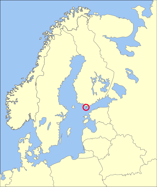
Location of the City of Hanko on a map of Northern Europe
Summary[edit]
| Description | Hanko on Northern Europe map | ||
| Date | (UTC) | ||
| Source | |||
| Author | Macs24 | ||
| SVG development | This locator map was created with Adobe Illustrator, and with Inkscape.
|
I, the copyright holder of this work, hereby publish it under the following licenses:
| This file is licensed under the Creative Commons Attribution-Share Alike 3.0 Unported license. | ||
| ||
| This licensing tag was added to this file as part of the GFDL licensing update. |

|
Permission is granted to copy, distribute and/or modify this document under the terms of the GNU Free Documentation License, Version 1.2 or any later version published by the Free Software Foundation; with no Invariant Sections, no Front-Cover Texts, and no Back-Cover Texts. A copy of the license is included in the section entitled GNU Free Documentation License. |
You may select the license of your choice.
Original upload log[edit]
This image is a derivative work of the following images:
- File:Blank Map of Europe -w boundaries.svg licensed with CC-BY-SA-3.0-migrated, GFDL
- 2008-06-19T01:33:53Z Roke 2045x1720 (724499 Bytes) more accurate version derived from [[:Image:Location European nation states.svg]] using same colours
- 2006-09-25T23:00:04Z Madman2001 748x546 (224972 Bytes) A blank map of Europe using Wikipedia standard colors in SVG format, based on [[:Image:BlankMap-Europe-v5.png]]. Note that the borders represent a second object "grouped" with the outline of Europe.
Uploaded with derivativeFX
File history
Click on a date/time to view the file as it appeared at that time.
| Date/Time | Thumbnail | Dimensions | User | Comment | |
|---|---|---|---|---|---|
| current | 06:31, 29 June 2010 | | 596 × 710 (90 KB) | Macs24 (talk | contribs) | {{Information |Description=Hanko on Europe map |Source=*File:Blank_Map_of_Europe_-w_boundaries.svg |Date=2010-06-29 06:28 (UTC) |Author=Macs24 |Permission=see below |other_versions= }} {{RetouchedPicture||editor=|orig=Blank_Map_of_E |
You cannot overwrite this file.
File usage on Commons
There are no pages that use this file.
File usage on other wikis
The following other wikis use this file:
- Usage on az.wikipedia.org
- Usage on ru.wikipedia.org
- Usage on uk.wikipedia.org