File:Open Street Map Turun saariston kartta.jpg
Jump to navigation
Jump to search
Size of this preview: 600 × 600 pixels. Other resolutions: 240 × 240 pixels | 480 × 480 pixels | 789 × 789 pixels.
Original file (789 × 789 pixels, file size: 70 KB, MIME type: image/jpeg)
Captions
Captions
Add a one-line explanation of what this file represents
| Description |
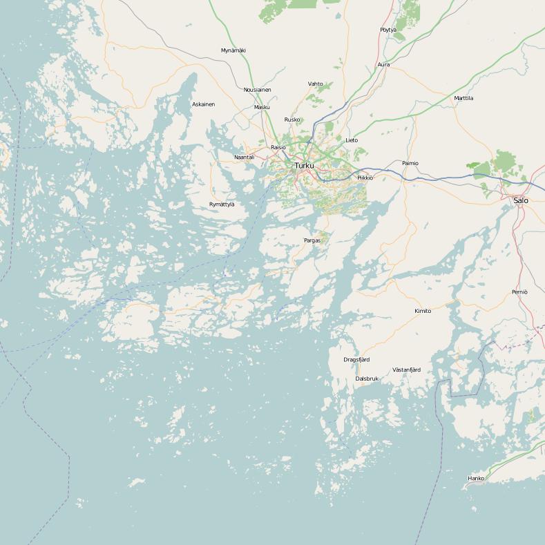
Suomi: Turun saariston kartta
English: Map of the Turku Archipelago |
| Source | openstreetmap.org |
| Author | OpenStreetMap contributors |
| Permission (Reusing this file) |
All OpenStreetMap data and maps are Creative Commons "CC-BY-SA 2.0" licensed This file is licensed under the Creative Commons Attribution-Share Alike 2.0 Generic license.
|
File history
Click on a date/time to view the file as it appeared at that time.
| Date/Time | Thumbnail | Dimensions | User | Comment | |
|---|---|---|---|---|---|
| current | 19:34, 13 December 2011 | | 789 × 789 (70 KB) | Potatius (talk | contribs) | {{Information |Description ={{fi|1=Turun saariston kartta}} {{en|1=Map of the Turku Archipelago}} |Source =openstreetmap.org |Author =OpenStreetMap contributors |Date = |Permission =All OpenStreetMap data and maps are Crea |
You cannot overwrite this file.
File usage on Commons
There are no pages that use this file.