Ruotsinpyhtää
Ruotsinpyhtää is a former municipality of Finland. Ruotsinpyhtää, Pernå and Liljendal were consolidated to Loviisa on January 1, 2010. It is located in the province of Southern Finland and was part of the Eastern Uusimaa region.Photo: Coquimbano, Public domain.
Notable Places in the Area

Ahvenkoski Manor
Farm

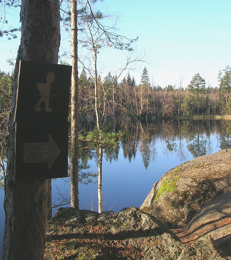
Photo: Wikimedia, Public domain.
Ahvenkoski Manor is a farm situated 3 km south of Ruotsinpyhtää.
Ruotsinpyhtää
- Type: Town with 2,840 residents
- Description: former municipality of Finland, now part of Loviisa
- Categories: former municipality of Finland, municipality of Finland and locality
- Location: Loviisa, Loviisa, Uusimaa, Southern Finland, Finland, Nordic countries, Europe
- View on OpenStreetMap
Latitude
60.52397° or 60° 31' 26" northLongitude
26.47127° or 26° 28' 17" eastPopulation
2,840Elevation
15 metres (49 feet)United Nations Location Code
FI RUOOpen Location Code
9GG8GFFC+HGOpenStreetMap ID
node 9820757108OpenStreetMap Feature
place=townGeoNames ID
638711Wikidata ID
Q999193Ruotsinpyhtää Satellite Map
© OpenStreetMap, Mapbox and Maxar
Also Known As
- Basque: Ruotsinpyhtaa
- Basque: Ruotsinpyhtää
- Cebuano: Ruotsinpyhtää
- Danish: Strömfors
- Dutch: Ruotsinpyhtaa
- Dutch: Ruotsinpyhtää
- Dutch: Stromfors
- Dutch: Strömfors
- English: Strömfors
- Esperanto: Ruotsinpyhtää
- Estonian: Ruotsinpyhtää
- Estonian: Ruotsinpyhtää vald
- Estonian: Strömfors
- Finnish: Ruotsinpyhtää
- Finnish: Strömfors
- French: Ruotsinpyhtaa
- French: Ruotsinpyhtää
- French: Strömfors
- German: Ruotsinpyhtää
- German: Strömfors
- Inari Sami: Ruotsinpyhtää
- Irish: Ruotsinpyhtää
- Italian: Ruotsinpyhtää
- Italian: Strömfors
- Northern Sami: Ruotsinpyhtää
- Northern Sami: Strömfors
- Norwegian: Strömfors
- Norwegian Bokmål: Ruotsinpyhtää
- Norwegian Bokmål: Strömfors
- Norwegian Bokmål: Strømfors
- Romanian: Ruotsinpyhtaa
- Romanian: Ruotsinpyhtää
- Russian: Руотсинпюхтяа
- Skolt Sami: Ruotsinpyhtää
- Spanish: Ruotsinpyhtaa
- Spanish: Ruotsinpyhtaä
- Spanish: Ruotsinpyhtää
- Spanish: Stromfors
- Spanish: Strömfors
- Swedish: Abborrfjärden
- Swedish: Björnvik
- Swedish: Boistö
- Swedish: Bullers
- Swedish: Finnby, Strömsfors kommun
- Swedish: Finnby
- Swedish: Gäddbergsö
- Swedish: Keitala
- Swedish: Kungsböle
- Swedish: Marknadsbacken
- Swedish: Ruotsinpyhtää
- Swedish: Strömfors
- Swedish: Suomenkylä
- Swedish: Taasianjoki
- Swedish: Uvberget
- Swedish: Viirilä
- Swedish: Virby
- Swedish: Virböle
- Turkish: Ruotsinpyhtaa
- Turkish: Ruotsinpyhtää
- Turkish: Strömfors
- Uzbek: Ruotsinpyhtää
- Vietnamese: Ruotsinpyhtää
- Pyhtää
- Ruotsinpyhtaeae
Localities in the Area
- Strömforsin ruukkiNeighborhood
- VironmäkiNeighborhood
- PeräkyläNeighborhood
- PaaskoskiLocality
- SuomenkylänkoskiLocality
Landmarks in the Area
- Lower Forge & MuseumMuseum
- Loviisa Tourist OfficeTourism office
- Krouvinmäki Clay houseHistoric site
- SankarihautausmaaCemetery
- Galleria V2Art gallery
Escape to a Random Place
Discover other destinations in the world.
About Mapcarta. Thanks to Mapbox for providing amazing maps. Data © OpenStreetMap contributors and available under the Open Database License. Text is available under the CC BY-SA 4.0 license, excluding photos, directions and the map. Description text is based on the Wikipdia page Ruotsinpyhtää. Photo: Coquimbano, Public domain.