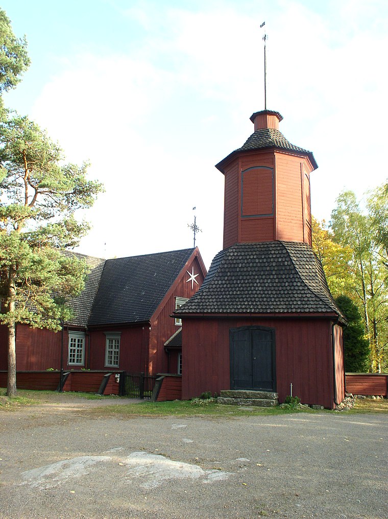
Merimasku
Rymättylä and Merimasku are rural areas in the Archipelago Sea in Finland Proper, consisting of a few main islands and about 500 smaller ones. The main islands have road connection to the mainland.Notable Places in the Area

Särkänsalmi Bridge
Bridge

Photo: Makele-90, CC BY-SA 3.0.
Särkänsalmi Bridge is situated 3½ km southeast of Merimasku.
Localities in the Area
Kultaranta
Neighborhood

Photo: Etelankiisla, CC BY-SA 4.0.
Kultaranta is the summer residence of the president of Finland. Kultaranta is situated 7 km east of Merimasku.
Merimasku
- Type: Town with 1,540 residents
- Description: former municipality of Finland, now part of Naantali
- Categories: former municipality of Finland, municipality of Finland and locality
- Location: Naantali, Turku, Archipelago Sea, Finland Proper, West Coast, Finland, Nordic countries, Europe
- View on OpenStreetMap
Latitude
60.4799° or 60° 28' 48" northLongitude
21.87154° or 21° 52' 18" eastPopulation
1,540Elevation
13 metres (43 feet)United Nations Location Code
FI M7TOpen Location Code
9GG3FVHC+XJOpenStreetMap ID
node 2456630828OpenStreetMap Feature
place=townGeoNames ID
646179Wikidata ID
Q1025703Merimasku Satellite Map
© OpenStreetMap, Mapbox and Maxar
Also Known As
- Bulgarian: Меримаску
- Catalan: Merimasku
- Cebuano: Merimasku
- Dutch: Merimasku
- Esperanto: Merimasku
- Estonian: Merimasku vald
- Finnish: Merimasku
- French: Merimasku
- Georgian: მერიმასკუ
- German: Merimasku
- Inari Sami: Merimasku
- Irish: Merimasku
- Italian: Merimasku
- Japanese: メリマスク
- Macedonian: Меримаску
- Northern Sami: Merimasku
- Norwegian: Merimasku
- Norwegian Bokmål: Merimasku
- Romanian: Merimasku
- Russian: Меримаску
- Skolt Sami: Merimasku
- Spanish: Merimasku
- Swedish: Merimasku
- Vietnamese: Merimasku
- Merimasko
Localities in the Area
- Merimaskun kirkonkyläSuburb
- HorjaHamlet
- RitaniemiHamlet
- PohjalainenHamlet
- SaaristolaiskyläHamlet
Landmarks in the Area
- Merimaskun seurakuntataloCommunity center
- Merimaskun maamieseurantaloCommunity center
- Merimaskun lähikirjastoLibrary
- Merimaskun terveysasemaHospital
- Vähä-KärvänenIslet
Escape to a Random Place
Discover other localities in the world.
About Mapcarta. Thanks to Mapbox for providing amazing maps. Data © OpenStreetMap contributors and available under the Open Database License. Text is available under the CC BY-SA 4.0 license, excluding photos, directions and the map. Description text is based on the Wikivoyage page Merimasku. Photo: Wikimedia, CC0.