Kannus
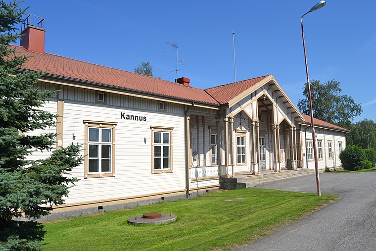
Kannus is a town and municipality of Finland. It is situated in the province of Western Finland and is part of the Central Ostrobothnia region. The municipality has a population of 5,249 and covers an area of 470.65 square kilometres, of which 2.41 km2 is water.Photo: A333, CC BY-SA 3.0.
Notable Places in the Area
Kannus
- Type: Town with 5,790 residents
- Description: city in the region of Central Ostrobothnia in Finland
- Neighbors: Kalajoki and Kokkola
- Categories: municipality of Finland, city, city or town or population center, second-level administrative division and locality
- Location: Kokkola, Central Ostrobothnia, West Coast, Finland, Nordic countries, Europe
- View on OpenStreetMap
Latitude
63.9008° or 63° 54' 3" northLongitude
23.917° or 23° 55' 1" eastPopulation
5,790Elevation
62 metres (203 feet)United Nations Location Code
FI KNSOpen Location Code
9GM5WW28+8ROpenStreetMap ID
node 30969627OpenStreetMap Feature
place=townGeoNames ID
654314Wikidata ID
Q984927Kannus Satellite Map
© OpenStreetMap, Mapbox and Maxar
Also Known As
- Albanian: Kannus
- Arabic: كانوس
- Asturian: Kannus (conceyu de Finlandia)
- Asturian: Kannus
- Asturian: conceyu de Kannus
- Belarusian: Канус
- Catalan: Kannus
- Cebuano: Kannus
- Chinese: 坎努斯
- Dutch: Kannus
- Esperanto: Kannus
- Estonian: Kannus
- Estonian: Kannuse linn
- Finnish: Kannuksen kaupunki
- Finnish: Kannuksen kunta
- Finnish: Kannus
- French: Kannus
- Galician: Kannus
- German: Kannus
- Greek: Κάνους
- Inari Sami: Kannus
- Irish: Kannus
- Italian: Kannus
- Japanese: カンヌス
- Korean: 칸누스
- Lombard: Kannus
- Moksha: Каннус
- Northern Sami: Kannus
- Norwegian: Kannus
- Norwegian Bokmål: Kannus
- Persian: کانوس
- Polish: Kannus
- Romanian: Kannus
- Russian: Каннус
- Serbo-Croatian: Kannus
- Skolt Sami: Kannus
- Slovak: Kannus
- Spanish: Kannus
- Swedish: Kannus
- Turkish: Kannus
- Ukrainian: Каннус
- Urdu: کنوس
- Veps: Kannus
- Welsh: Kannus
- Western Mari: Каннус
- Yue Chinese: 坎努斯
Other Places Named Kannus
Localities in the Area
- LopottiNeighborhood
- RaasakkaNeighborhood
- ParsialaNeighborhood
- MuseokangasNeighborhood
- JokelaNeighborhood
Popular Destinations in Central Ostrobothnia
Discover Kaustinen and Inland Central Ostrobothnia.
Escape to a Random Place
Explore your world with these selected destinations of excellence.
About Mapcarta. Thanks to Mapbox for providing amazing maps. Data © OpenStreetMap contributors and available under the Open Database License. Text is available under the CC BY-SA 4.0 license, excluding photos, directions and the map. Description text is based on the Wikipdia page Kannus. Photo: A333, CC BY-SA 3.0.