Västanfjärd new church
Västanfjärd new church is a church in Finland Proper, West Coast. Västanfjärd new church is situated close to Västanfjärd Old Church and the churchyard sankarihautausmaa.Photo: Wikimedia, CC BY-SA 3.0.
- Type: Church
- Denomination: Lutheran
- Description: church in Kimitoön, Finland
Notable Places in the Area
Västanfjärd Old Church
Church

Photo: Ufinne, CC BY-SA 3.0.
Västanfjärd Old Church is situated 180 metres west of Västanfjärd new church.
Localities in the Area
Västanfjärd
Town
Västanfjärd is a former municipality of Finland. On January 1, 2009, it was consolidated with Dragsfjärd and Kimito to form the new municipality of Kimitoön.
Björkboda
Village
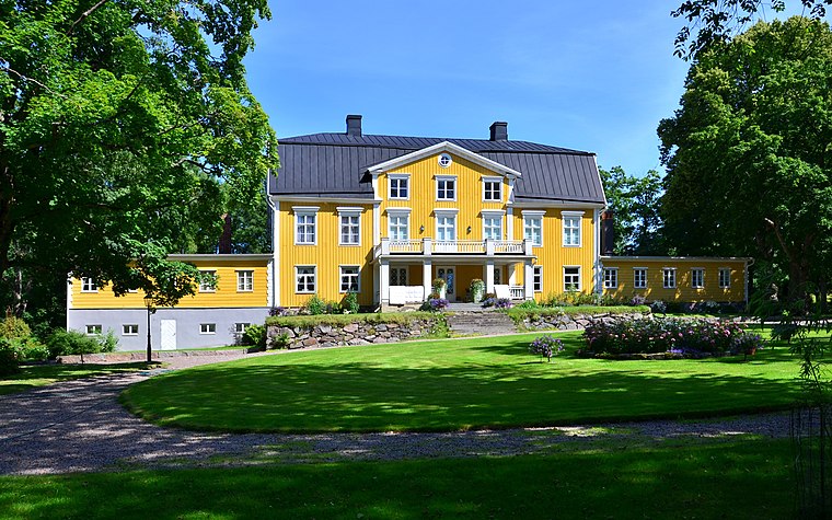
Photo: Esquilo, CC BY-SA 3.0.
Björkboda is a village situated 7 km northwest of Västanfjärd new church.
Västanfjärd new church
- Categories: building, place of worship and religion
- Location: Finland Proper, West Coast, Finland, Nordic countries, Europe
- View on OpenStreetMap
Latitude
60.04852° or 60° 2' 55" northLongitude
22.6635° or 22° 39' 49" eastOpen Location Code
9GG42MX7+CCOpenStreetMap ID
way 430295540OpenStreetMap Feature
amenity=place_of_worshipOpenStreetMap Feature
building=churchOpenStreetMap Attribute
denomination=lutheranWikidata ID
Q13570914Västanfjärd new church Satellite Map
© OpenStreetMap, Mapbox and Maxar
Also Known As
- Finnish: Västanfjärdin kirkko
- Finnish: Västanfjärdin uusi kirkko
- Swedish: Västanfjärds nya kyrka
Landmarks in the Area
- sankarihautausmaaChurchyard, 220 metres southwest
- NyängenMeadow
- Norrlammala gruvanPond, 2 km northeast
- LångängenMeadow
- KorsikaIslet
Places in the Area
- SankaripatsasMemorial, 220 metres southwest
- VÄSTANFJÄRD IBus stop, 320 metres northeast
- VÅRDKASEN EBus stop, 320 metres northwest
- VÄSTANFJÄRD LBus stop, 360 metres northeast
- VÅRDKASEN PBus stop, 460 metres northwest
Popular Destinations in Finland Proper
Discover Turku, Salo, Uusikaupunki and Kaarina.
Escape to a Random Place
Discover other churches in the world.
About Mapcarta. Thanks to Mapbox for providing amazing maps. Data © OpenStreetMap contributors and available under the Open Database License. Text is available under the CC BY-SA 4.0 license, excluding photos, directions and the map. Photo: Wikimedia, CC BY-SA 3.0.