Karttulan urheilukenttä
Karttulan urheilukenttä is a sports venue in Kuopio, North Savonia. Karttulan urheilukenttä is situated nearby to the pitch Karttulan tekonurmi and Karttulan tori.Notable Places in the Area
Karttulan Kissakuusen koulu
School

Photo: Paju, CC BY-SA 3.0.
Karttulan Kissakuusen koulu is a school situated 390 metres west of Karttulan urheilukenttä.
Karttulan kirkko
Church
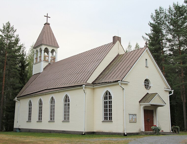
Photo: Paju, CC BY-SA 3.0.
Karttulan kirkko is a church situated 1 km south of Karttulan urheilukenttä.
Karttulan urheilukenttä
- Type: Sports venue
- Categories: recreation area and sports location
- Location: Kuopio, Kuopio, North Savonia, Finnish Lakeland, Finland, Nordic countries, Europe
- View on OpenStreetMap
Latitude
62.89658° or 62° 53' 48" northLongitude
26.97459° or 26° 58' 29" eastOpen Location Code
9GJ8VXWF+JROpenStreetMap ID
way 649311887OpenStreetMap Feature
leisure=sports_centreKarttulan urheilukenttä Satellite Map
© OpenStreetMap, Mapbox and Maxar
Landmarks in the Area
- Karttulan tekonurmiPitch
- KarttulaBus station, 160 metres southwest
- Karttulan tori200 metres southwest
- Karttulan valtiontaloTown hall, 220 metres south
- Karttulan seurakuntataloPublic building, 260 metres west
Places in the Area
- S-marketSupermarket, 140 metres southwest
- Karttulan apteekkiPharmacy, 150 metres southwest
- RautanetHardware store, 160 metres southwest
- ABC:n kahvilaCoffeehouse, 160 metres south
- ABC Karttula AutomGas station, 180 metres south
Popular Destinations in North Savonia
Discover Iisalmi, Varkaus, Suonenjoki and Siilinjärvi.
Escape to a Random Place
Discover other sports venues in the world.
About Mapcarta. Thanks to Mapbox for providing amazing maps. Data © OpenStreetMap contributors and available under the Open Database License. Text is available under the CC BY-SA 4.0 license, excluding photos, directions and the map. Photo: Ypsilon from Finland, CC0.