The Town


Geiranger is a small town of around 250 inhabitants located in the county of Møre og Romsdal in Western Norway. One of the first tourist destinations of the country, it is visited by around 700,000 people every year. The majority of tourists arrive by ship, as the very first visitors did back at the end of the nineteenth century, with around 200 cruise ships reaching Geiranger between May and September. For over a century the inhabitants have dedicated themselves to tourism, therefore hotels, restaurants and tour services abound.
An historical stroll would take you from the pier, renovated in 1887 to accomodate steam ships, to the pedestrial street, lined with shops and services. In ancient times the typical wooden buildings hosting the modern shops were simple boat houses, single-storey buildings facing the beach. The second floor was added at the time of the first cruise ships, serving as a garage for the carriages used to transport tourists.
As you leave the flat shoreline and start your way up the staircase along the river Storelva, you can stop to admire the power of the Storfossen waterfall. Further up by the end of the staircase you can see the remains of the old hydroelectric powerplant, not in function anymore. The history of its builder Karl Mjelva and his family have a place of honor in the history of the village itself. Paying a visit to the Norsk Fjordsenter will surely give you a glimpse of the development of this tiny town and the lives of its inhabitants. To find out more about the history of Geiranger check out a copy of A Walk Through Geiranger.

The mountains surrounding Geiranger give you plenty of chances to get breathtaking panoramic views of the fjord, whether you are a hiker or not. Head towards the Eagle Road, the only road open in winter, which connects Geiranger to the coastal part of the country. Completed in 1954, the road has 11 hairpin bends, the last one being known as Eagle Bend. At an altitude of 1,690ft you can see the snake-like fjord reaching the Geiranger shore on one side, and bending towards the bigger Storfjord on the other one.
Flydalsjuvet, on the backside of the village, is a canyon about 230ft deep at 1,080ft above sea level, offering a fantastic view over the fjord and village. Don’t miss out on the stone throne dedicated to H.M. Queen Sonja, who greatly contributed to the fame of Geiranger.
The Fjord

The landscape of the West Norwegian Fjords, Vestnorsk Fjordlandskap, was enlisted in the Unesco World Heritage List on July 14, 2005. It includes the Nærøyfjord and the Geirangerfjord with their neighbouring areas. Considered among the most spectacular in the world, both fjords owe their peculiarities to the steep slopes that rise up to 4,600ft from the sea, and that extend well 1,640ft below sea level.
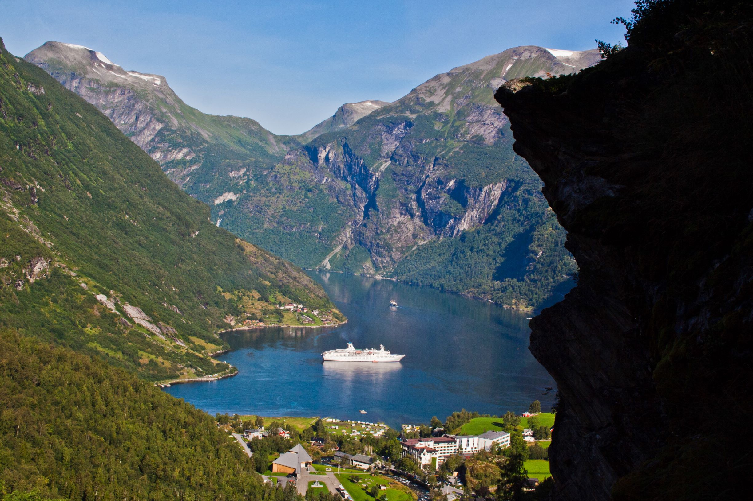
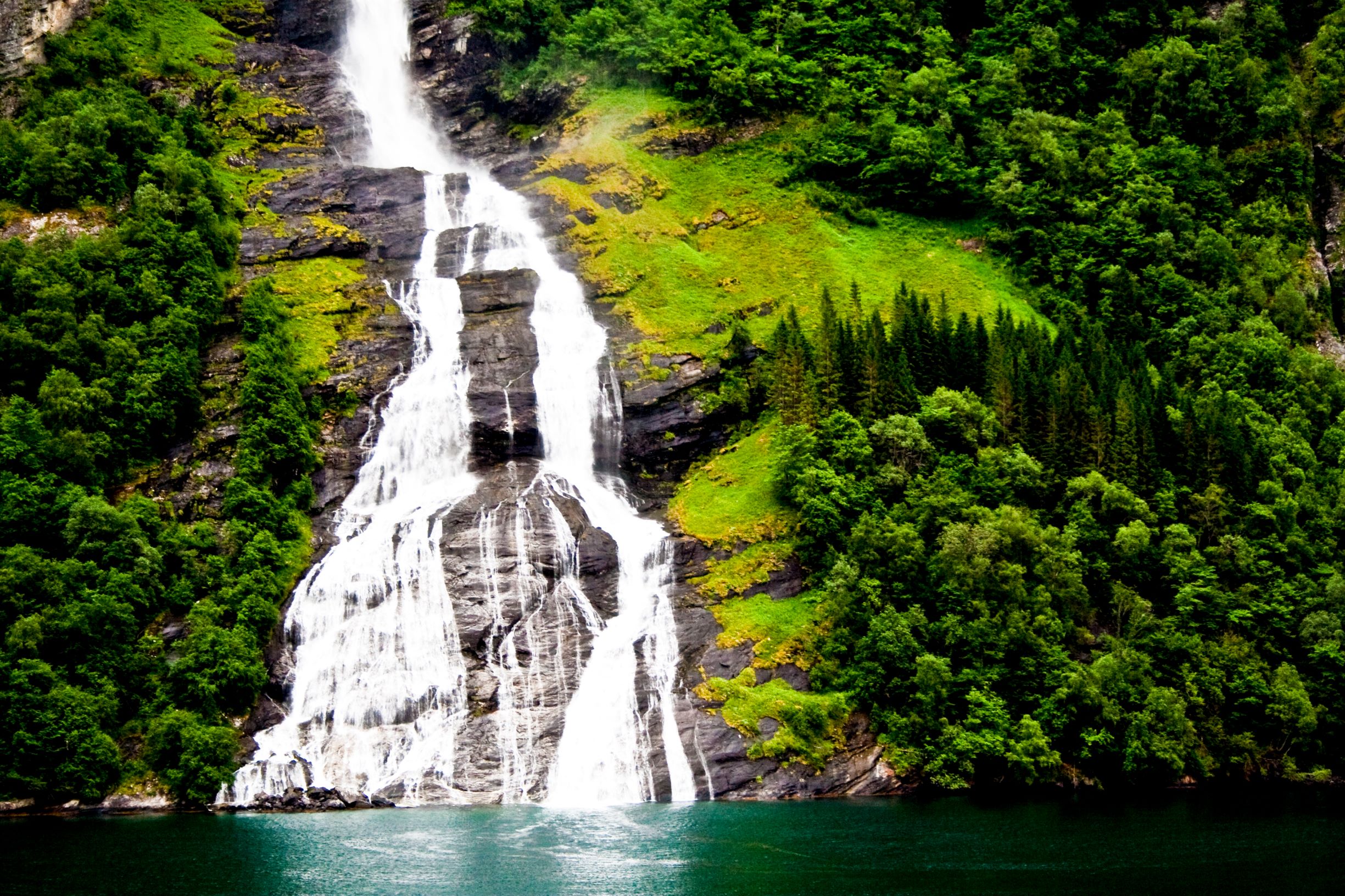
The Geirangerfjord, around 10mi long, is well-known for its serpentine shape and its waterfalls, such as The Seven Sisters, The Suitor and The Bridal’s Veil. Main symbol of Norway, the fjords have not always been part of the landscape as we know it today; indeed, they are a relatively recent phenomenon, speaking in geological terms. It was only at the end of the last Ice Age, after the glaciers started to melt and the sea level rose as a consequence, that the fjords took on the aspect they have today. Because of their glacial origins, most fjords are very deep. Within the depth of 846ft, the Geirangerfjord hosts a wide spectrum of marine life: from smaller organisms such as starfish and jellyfish, to codfish, sharks, rays and even harbour porpoises. Read more about the formation of the Geirangerfjord and the peculiarities of the marine environment hidden at its bottom here.


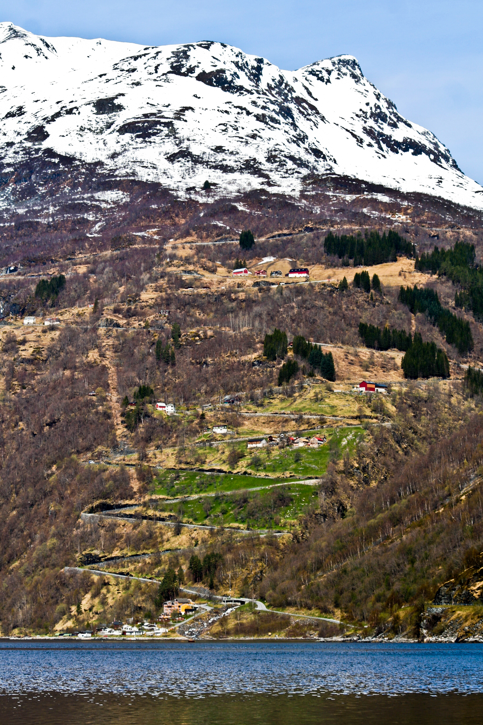
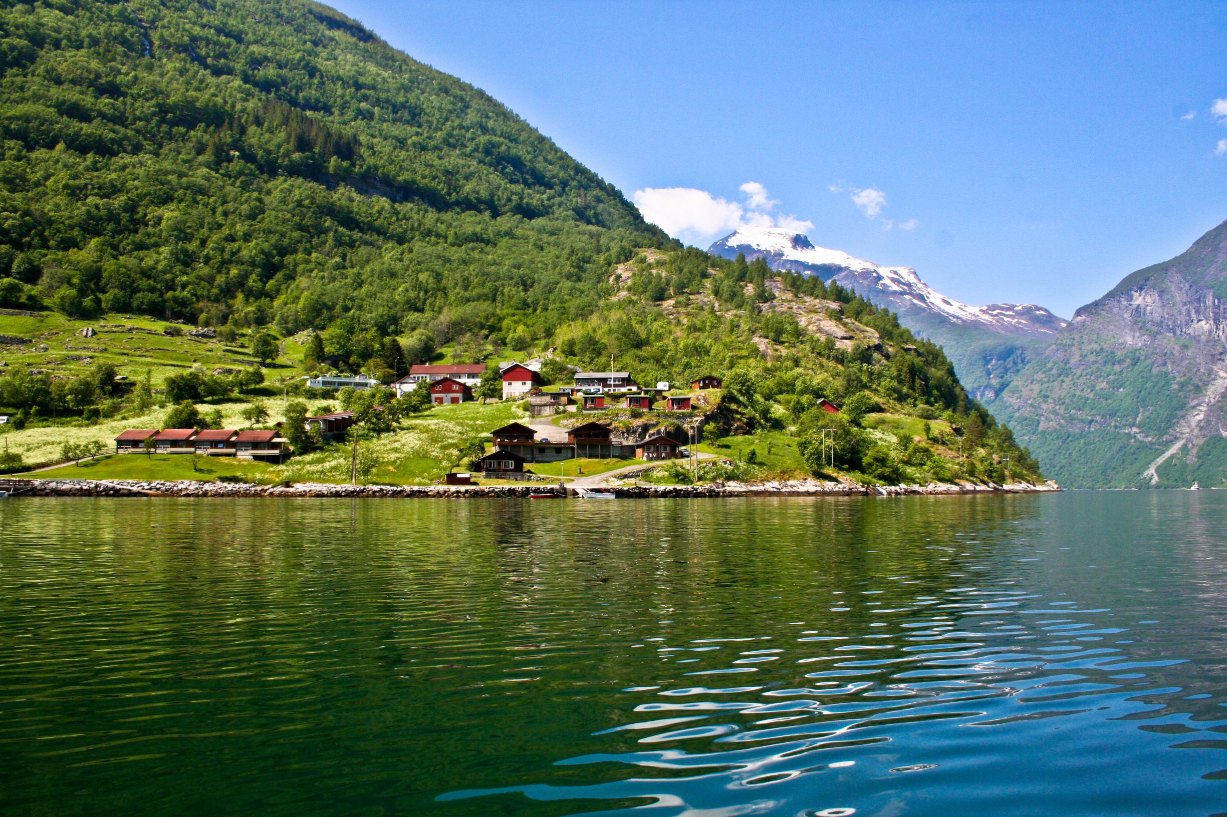
There are many ways of exploring the fjord: you can either board one of the sightseeing boats, head on a speed tour with a Rib boat, rent a kayak or a rowing boat, or even take the ferry in or out. Don’t miss out on the magnific cliffs closing in on the fjord, the powerful waterfalls, and keep an open eye for harbour porpoises swimming by. As you sail out towards the open sea, you will notice a few of the farms perched up on the slopes, holding on to narrow strips of land between the sea and the mountains. They are the so-called fjord farms, where people lived in older days, despite the many difficulties connected to the remote location (read more about fjord farms here). There are hiking trails reaching each and every of them, mostly accessible by the shoreline. Located on a precipe of 820ft above the fjord, Skageflå is definetely the most famous fjord farm and can be reached by foot either by Skagehola, the access point along the fjord, or from Geiranger itself.
The Mountains

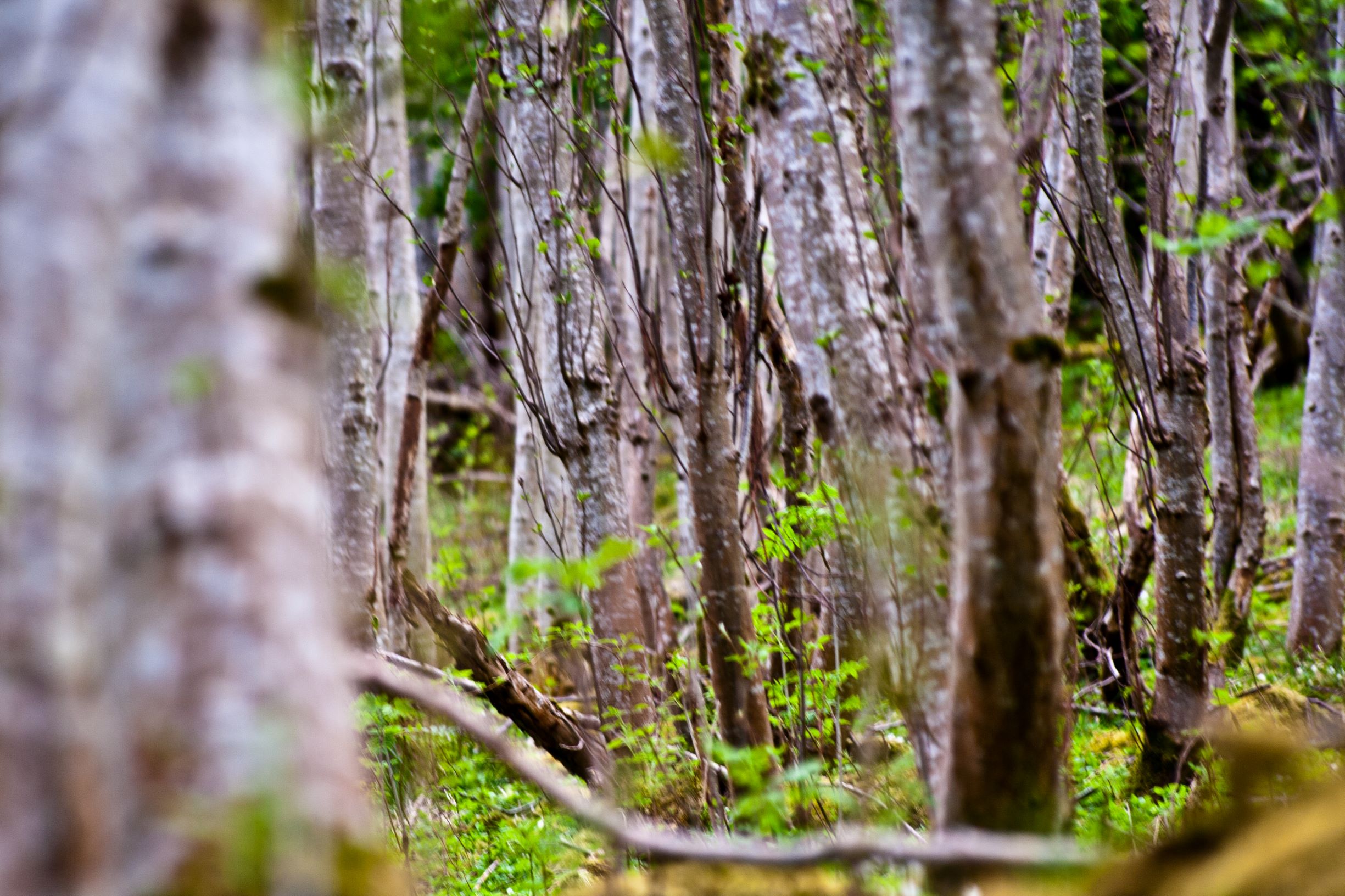
The mountains surrounding the village offer plenty of trekking and hiking opportunities, both for experienced and not-so-experienced visitors. Starting from the center, one can easily reach the part of town called Homlong just by following the main road to the grocery store and then continuing along an unpaved road which boards the side of the fjord. Either stop there to get a different view of the fjord, or continue along one of the many paths starting there. You can reach the summer farm Homlongsætra and then continue on to the old fjord farm Skageflå. Other more challenging options include Skagedalen, Sunnylvsbygda and Keipane.
Another easy walk takes you from the center to the upper part of the village following the river Storelva along a recently built stairway, as mentioned above. From the backside of Hotel Union another path begins, leading you to the Westerås Farm, starting point of several more trails. From there you can easily reach the waterfall Storsætterfossen along majestic granite steps. Once you reach the top of the waterfall a narrow and slippery trail will ring you right behind it, a mesmering experience all by itself! Westeråsfjellet and Løsta are also very well-known paths, leading you to amazing viewpoints over the fjord. For more challenging hikes you can head towards Grinddalsæstra, and from there reach the top of Vinsåshornet, or the top of Laushornet from Storsætterfossen.


You cannot visit Geiranger without reaching its most famous viewpoint, the platform on top of Mount Dalsnibba. The name Dalsnibba literally means “the peak of the valley”, and once you reach its top the name easily explains itself: the view opens on the valley below, showing the Geiranger Road winding down towards the village and reaching the fjord. The altitude of 4,920ft and the distance of only 3mi as the crow flies from the town make the view over the fjord simply spectacular.
Just reaching Mount Dalsnibba makes for an experience not to be missed. From the backside of the village the Geiranger Road, one of the National Touristic Roads of Norway, climbs up slowly and steady, with several haripins bends carved directly into the nude stone. Built between 1881 and 1889, it was officially the first road of the town, which before then was only connected to the rest of the country by an old mule track over the mountains and the fjord itself. Despite the many changes during the years, some parts of the original road are still visible today, including the famous Knuten Bridge. Did you know that the Geiranger Road was considered an engeneering masterpiece and was awarded a gold medal in 1900 World Expo in Paris? Read more about the history of the Geiranger Road, its construction and its impact on the lives of the inhabitants here.
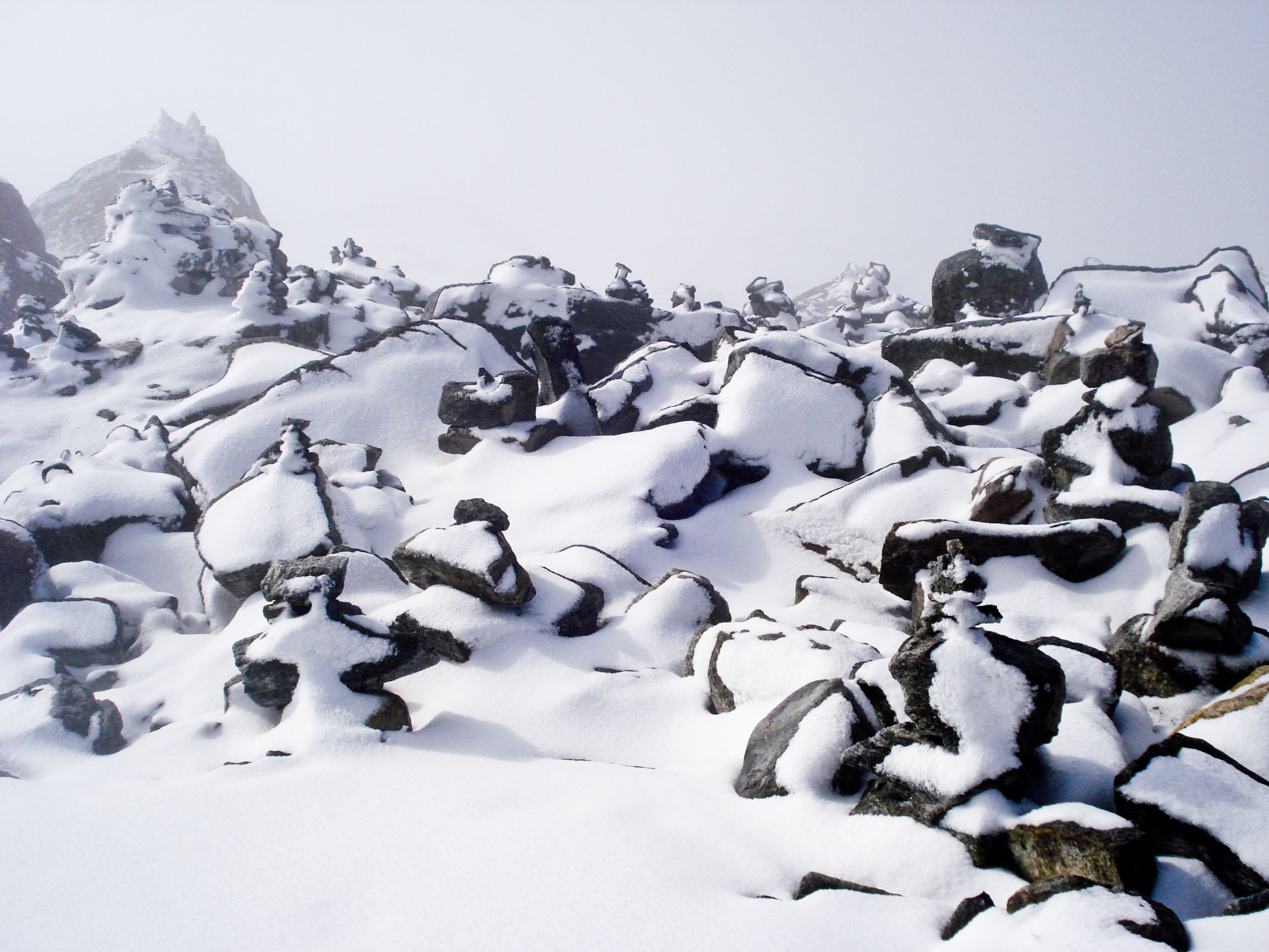
At an height of 3,380ft the road reaches Lake Djupvatn, a beautiful mountain lake hidden by ice and snow until early summer. From this area a great number of hiking trails bring you to the discovery of this beautiful landscape, such as Blåfjell, Hestebreen, Kolbeinsvatnet and Kvanndalen. The road reaching the summit of Mount Dalsnibba is paved and offers and incredibly scenic drive, though not for the faint of heart!
