Austria Map stock illustrations
Browse 8,200+ austria map stock illustrations and vector graphics available royalty-free, or search for austria map 1930s to find more great stock images and vector art.
Most popular
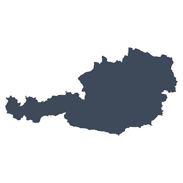
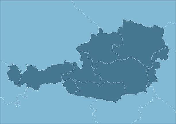
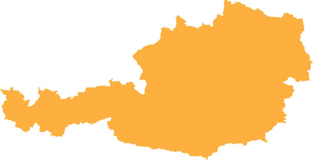
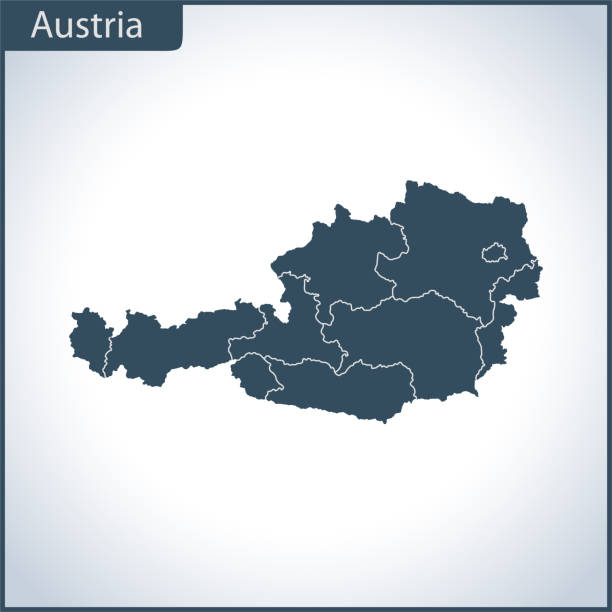
A graphic illustrated vector image showing the outline of the country Austria. The outline of the country is filled with a dark navy blue colour and is on a plain white background. The border of the country is a detailed path.
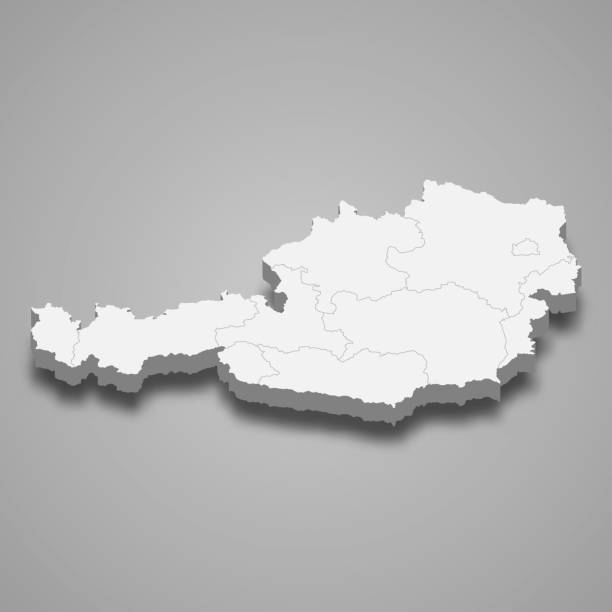
3d map of Austria with borders of regions

Very detailed Austria map - easy to edit.
Map of Austria - Vector illustration
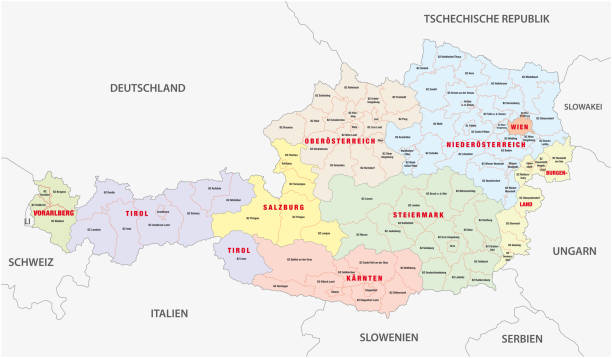
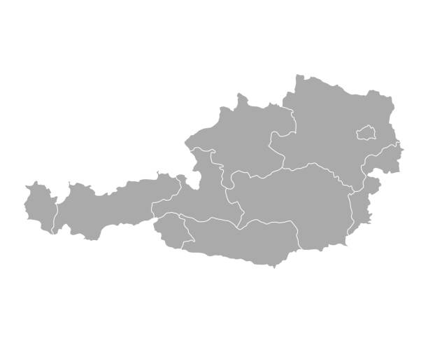
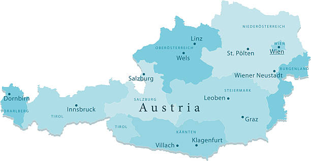
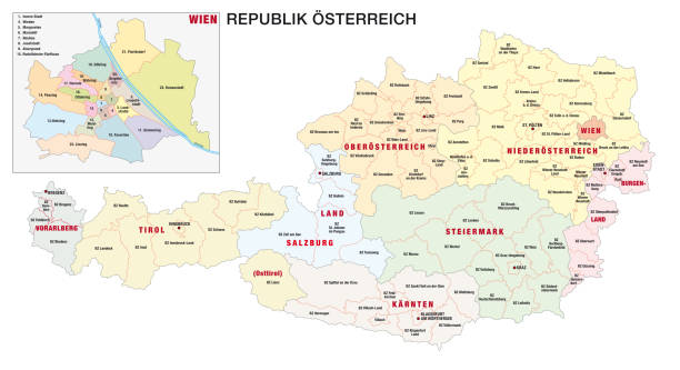
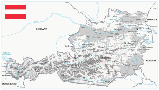
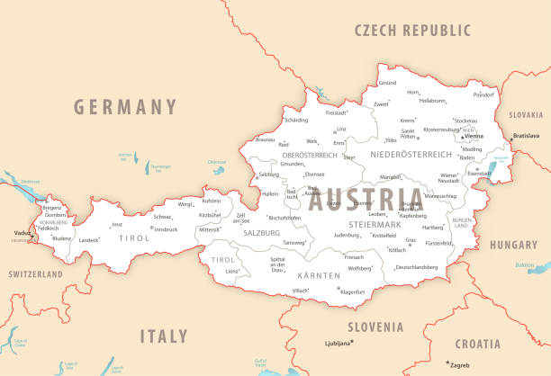
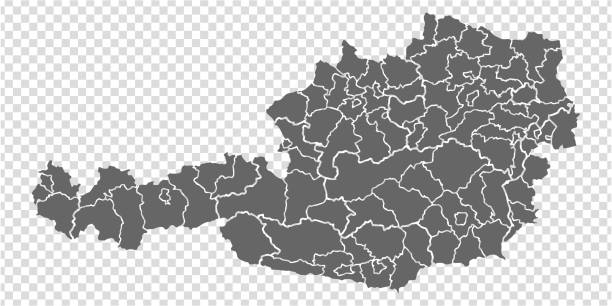
Administrative and political vector map of Austria in German language

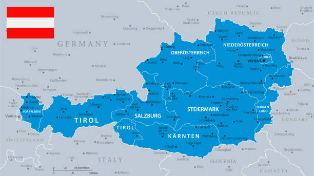
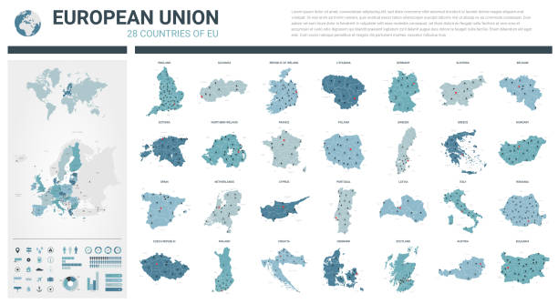
Austria, political map, with the capital Vienna, nine federated states and their capitals. With borders and the neighbor countries. English labeling. Illustration. Vector.

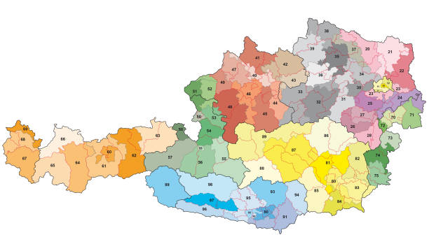
"Detailed vector map of Austria with administrative divisions. File was created on October 29, 2012. The colors in the .eps-file are ready for print (CMYK). Included files: EPS (v8) and Hi-Res JPG (5600aa aaa 3096 px)."
Austria 2-digit postcodes vector map

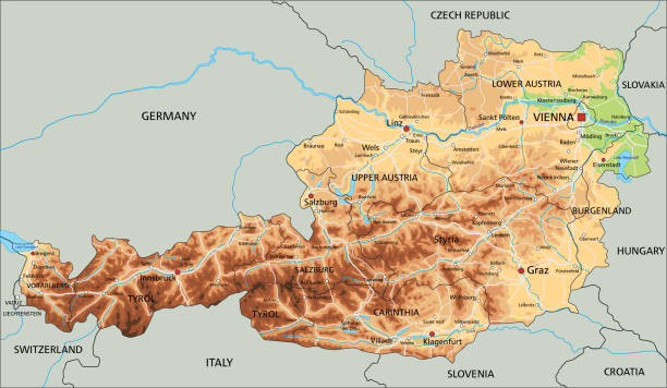
Detailed roads and administrative vector map of Austria

Contour of Austria in grey and in flag colors

Vector illustration of the map of Austria

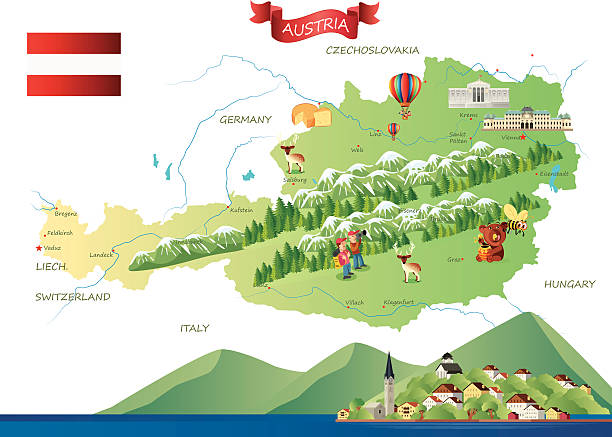
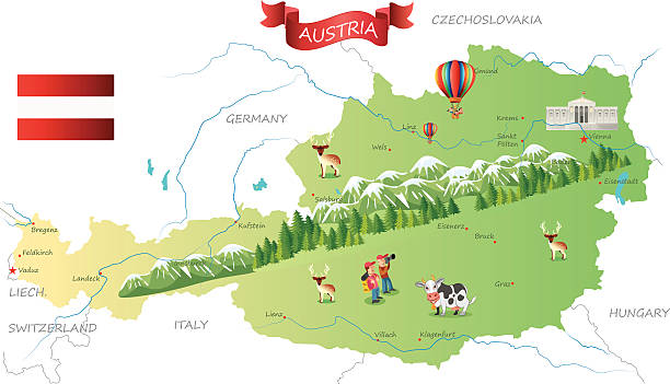
Landmarks map of Austria. Sightseeing in Vienna, Salzburg, Solden, Tyrol, Melk. Opera and St. Stephen cathedral, strudel, skiing, church olympic games Abbey Hochosterwitz castle Architecture theme
Map of Austria - Vector illustration
Vector isolated simplified illustration icon with black line silhouette of Austria map
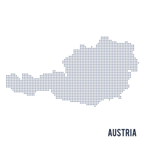
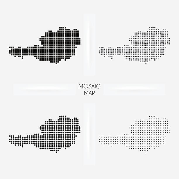
Vector dotted map of Austria isolated on white background . Travel vector illustration
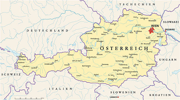
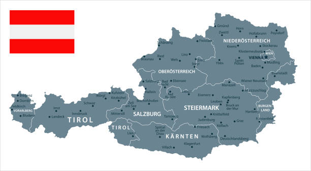
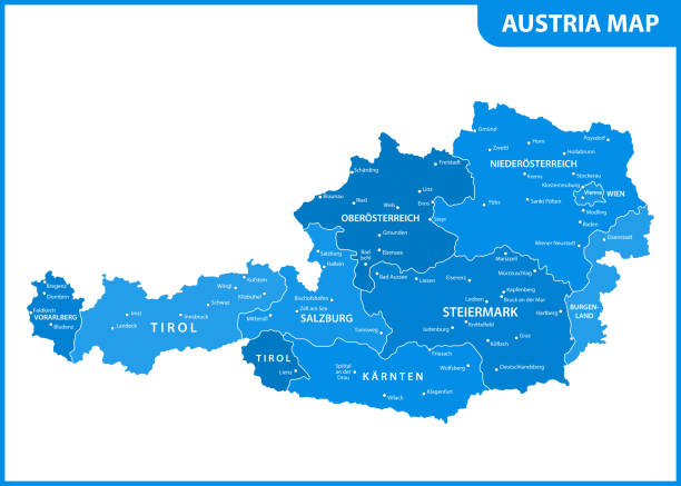
Political map of Austria with capital Vienna, national borders, most important cities, rivers and lakes. Vector illustration with German labeling and scaling.

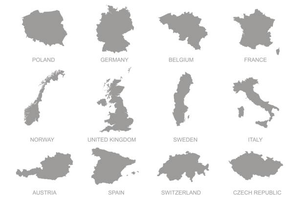
Vector illustration. White silhouettes of West Europe states maps, simplified outlines. France, Belgium, Netherlands, Switzerland, Austria, Germany, Monaco, Liechtenstein, Luxembourg
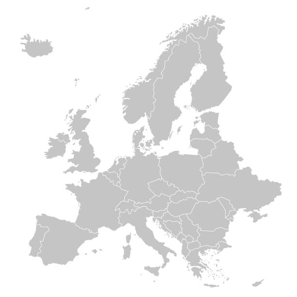
Highly detailed map of Europe for your design and product.

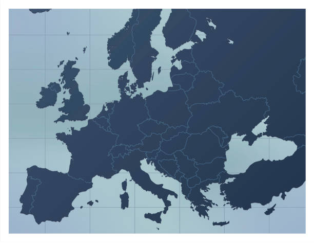
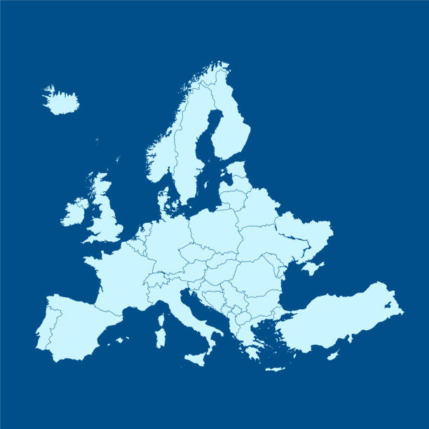
A dark blue Europe map. Good for your geographical presentations, websites and for printing.
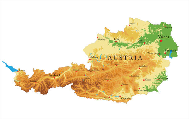
Highly detailed physical map of Austria in vector

This image is a vector illustration and can be scaled to any size without loss of resolution.
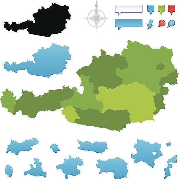
Austria map made up of the 10 different states. Individual states included below. Global colours are easily changed.
Austria Physical Map White and Grey - Detailed map of Austria vector illustration - All elements are separated in editable layers clearly labeled.
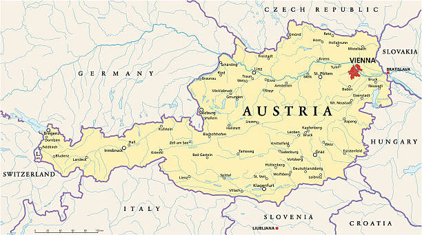
Political map of Austria with capital Vienna, with national borders, most important cities, rivers and lakes. Illustration with English labeling and scaling.
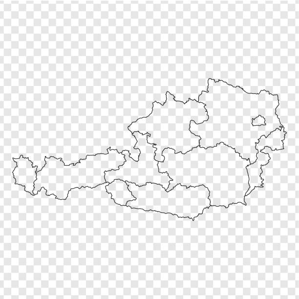
Austria detailed map with regions and cities of the country. Vector illustration
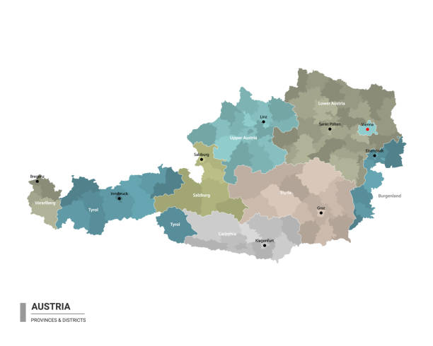

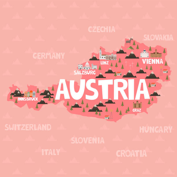
Illustration map of Austria with city, landmarks and nature. Editable vector illustration
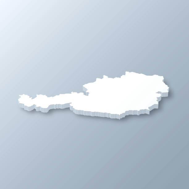
3D map of Austria isolated on a blank and gray background, with a dropshadow. Vector Illustration (EPS10, well layered and grouped). Easy to edit, manipulate, resize or colorize.
ORANGE CMYK color detailed flat stencil map of the European country of AUSTRIA on transparent background
vector of the Europe map
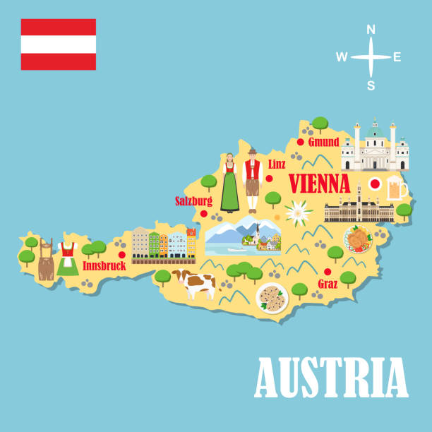
Stylized map of Austria. Travel illustration with austrian landmarks, architecture, national flag, and other symbols in flat style. Vector illustration

High detailed Austria physical map with labeling. Organized vector illustration on seprated layers.
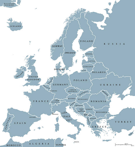
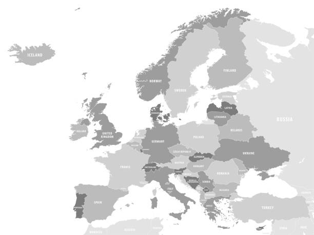
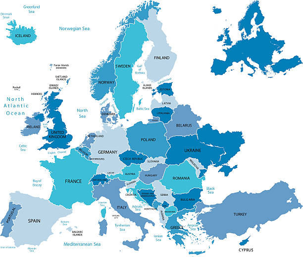
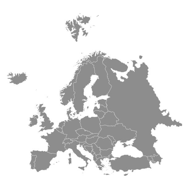
Europe countries political map with national borders and country names. English labeling and scaling. Illustration on white background.
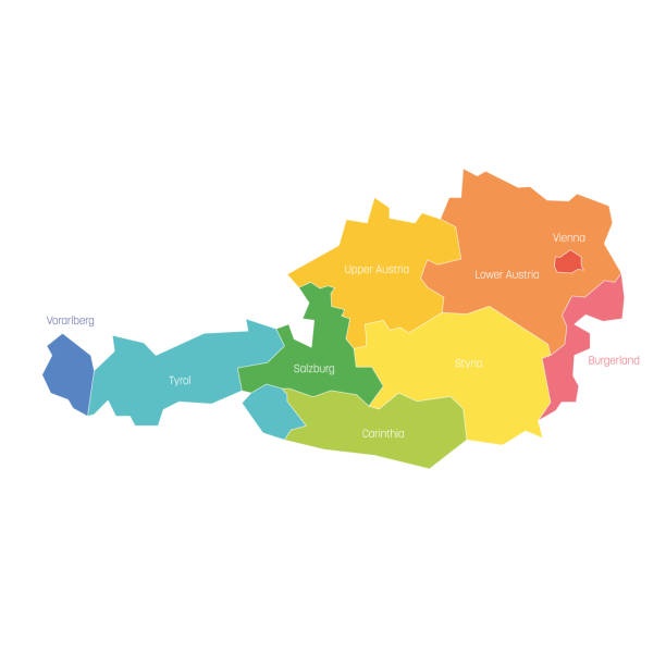
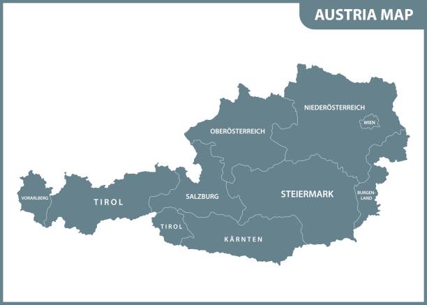
States of Austria. Map of regional country administrative divisions. Colorful vector illustration.
vector of Austria map
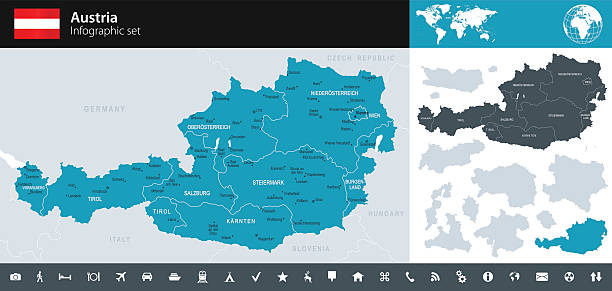
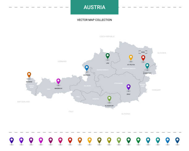
Vector maps of Austria with variable specification and icons
Maps of Austria isolated on white background. Easily customizable for your design.
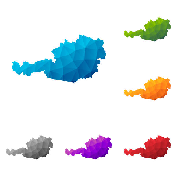
Set of 6 Austria maps created in a Low Poly style, isolated on a blank background. Modern and trendy polygonal mosaic with beautiful color gradients (colors used: Blue, Green, Orange, Yellow, Red, Pink, Purple, Black, Gray). Vector Illustration (EPS10, well layered and grouped). Easy to edit, manipulate, resize or colorize.
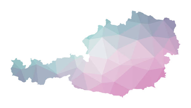
Polygonal map of Austria. Geometric illustration of the country in emerald amethyst colors. Austria map in low poly style. Technology, internet, network concept. Vector illustration.