Map Of Helsinki Finland Pictures, Images and Stock Photos
Browse 1,500+ map of helsinki finland stock photos and images available, or start a new search to explore more stock photos and images.
Most popular
"Highly detailed vector map of Finland. File was created on November 24, 2011. The colors in the .eps-file are ready for print (CMYK). Included files: EPS (v8) and Hi-Res JPG."
City map Helsinki, travel vector poster design detailed plan of the city, rivers and streets
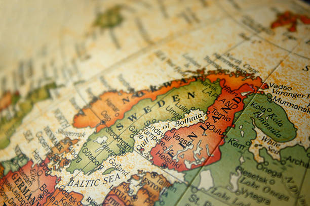
Map of Scandinavia. A detail from the World Map.
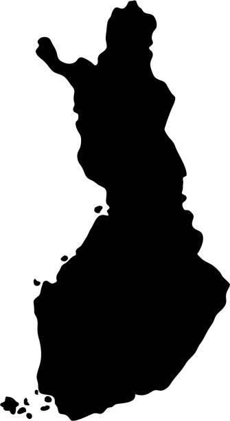
vector map of Finland
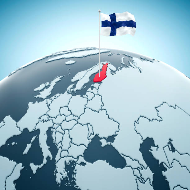
Finland, Helsinki flag on blue globe with the country in red.
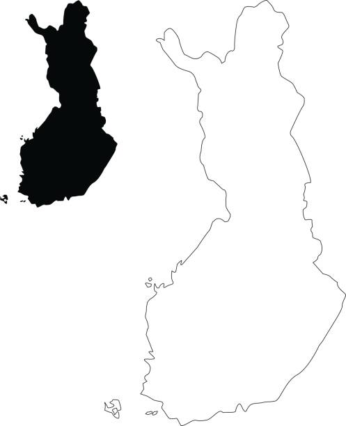
Map of Finland - Vector illustration
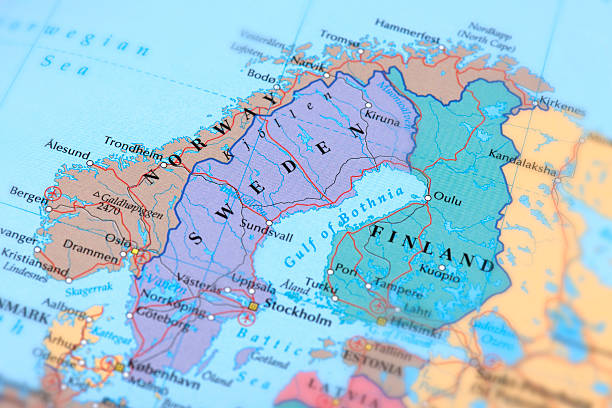
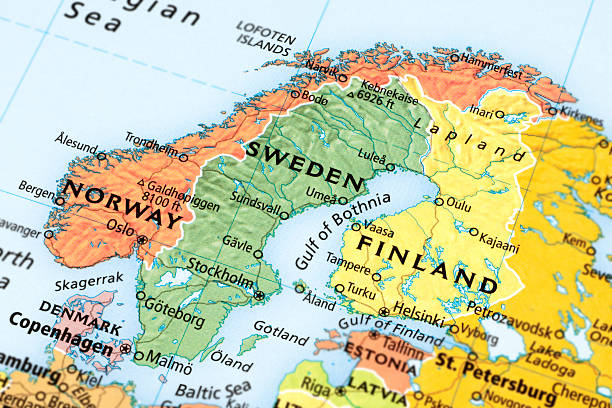
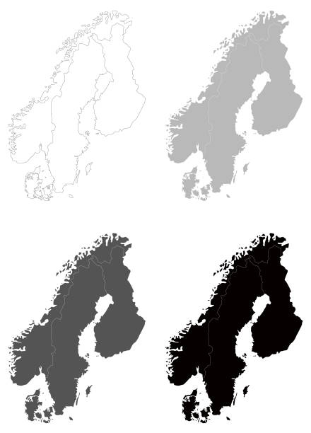
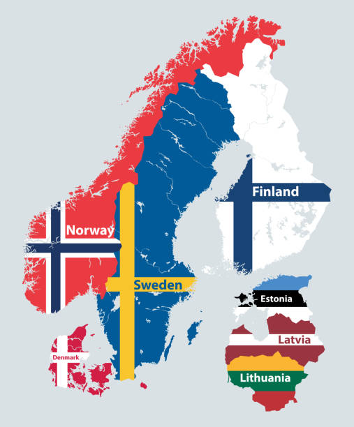
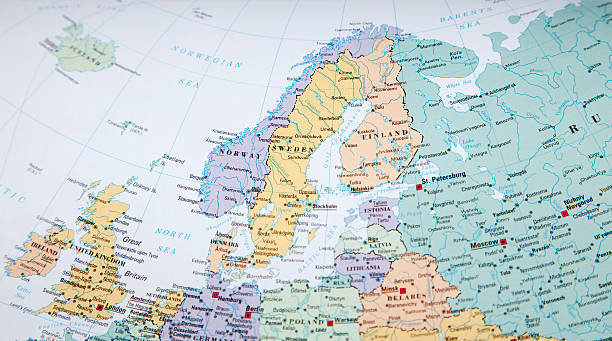
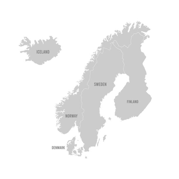
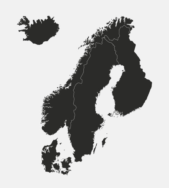
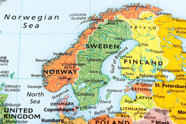
Map of Norway, Sweden and Finland.
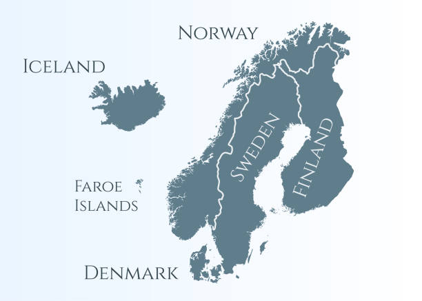
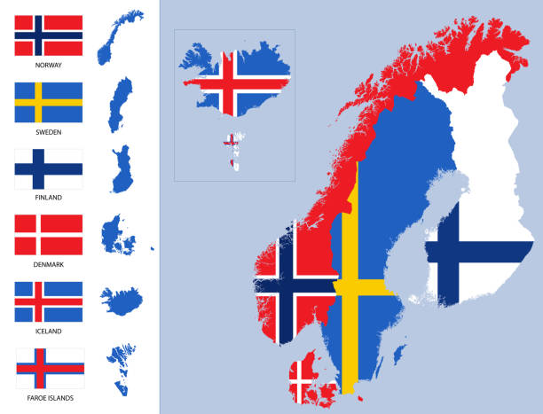
scandinavia map. Norway, Sweden, Finland, Denmark, Iceland and Faroe Islands. Nordic countries map. Vector illustration for infographics
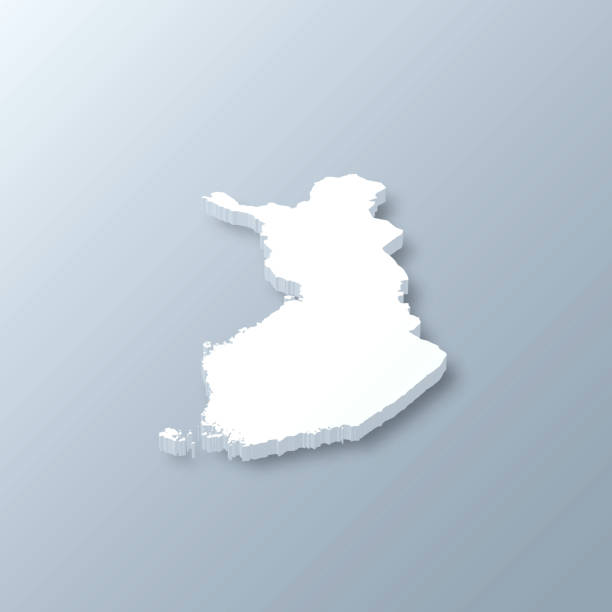
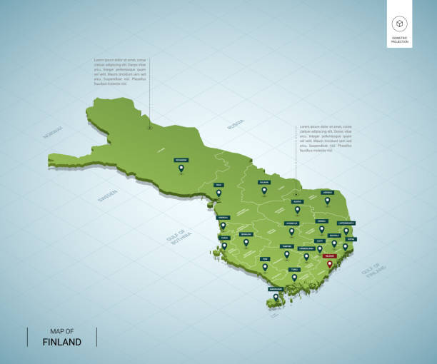
3D map of Finland isolated on a blank and gray background, with a dropshadow. Vector Illustration (EPS10, well layered and grouped). Easy to edit, manipulate, resize or colorize.

Map of Helsinki, satellite view, city, Finland. 3d rendering
Map of Finland - Vector illustration
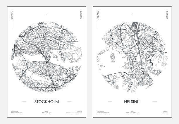
Map of Helsinki.
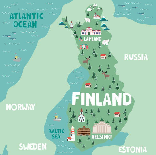
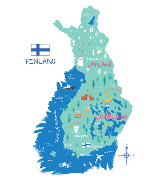
Illustration map of Finland with nature, animals and landmarks. Editable Vector illustration
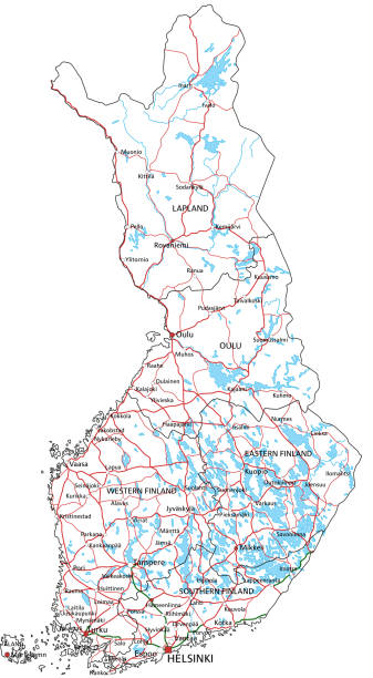
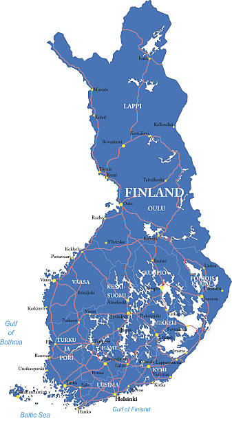
Finland road and highway map. Organized vector illustration on seprated layers.
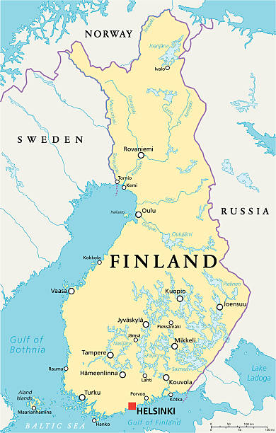
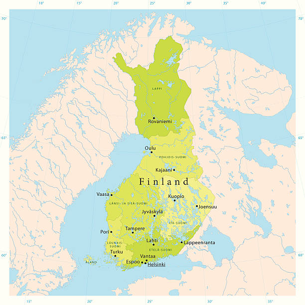
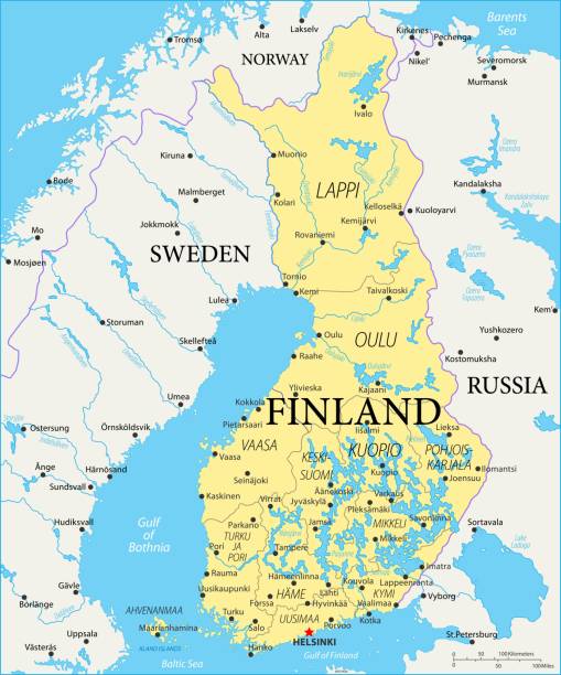
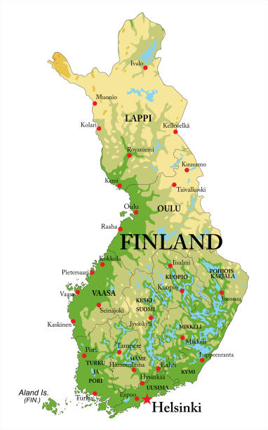
Finland Political Map with capital Helsinki, national borders, important cities, rivers and lakes. English labeling and scaling. Illustration.
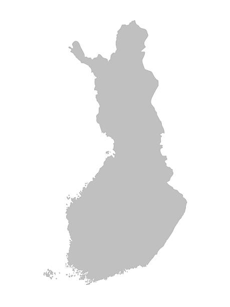
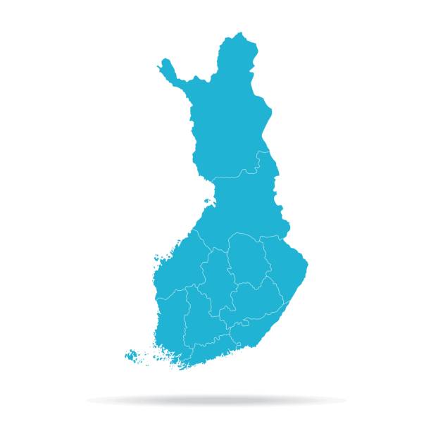
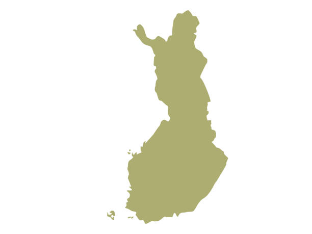
Vector isolated simplified map of Finland regions. Borders of administrative divisions. Blue khaki colors silhouette, white background
Map of Finland funny travel destination concept. National flag and symbols. Vector illustration isolated on white background.
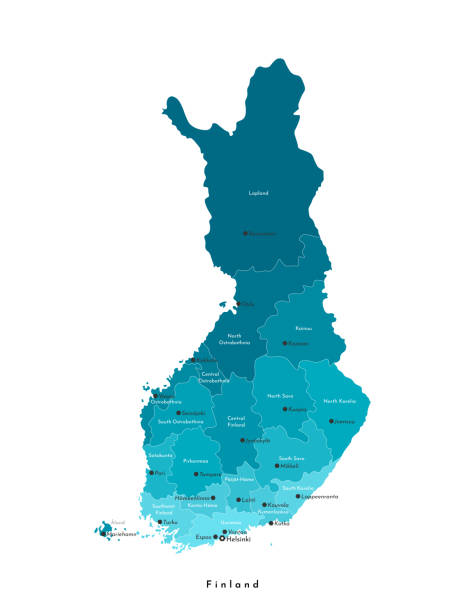
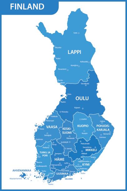
Vector isolated illustration. Simplified administrative map of Finland. Names of big finnish cities and regions. Blue colors. White background
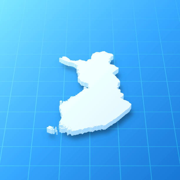
3D map of Finland isolated on a blank blueprint, with a dropshadow (color used: blue and white). Vector Illustration (EPS10, well layered and grouped). Easy to edit, manipulate, resize or colorize.
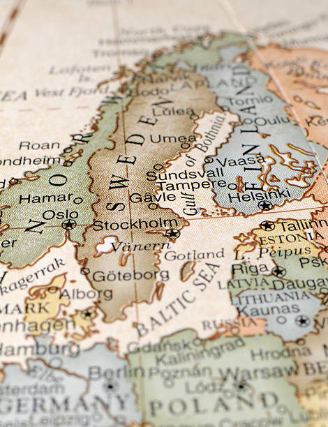
A close-up/macro photograph of Norway, Sweden, and Finland from a desktop globe. Adobe RGB color profile.
vector illustration of Scandinavia maps
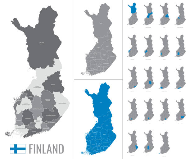

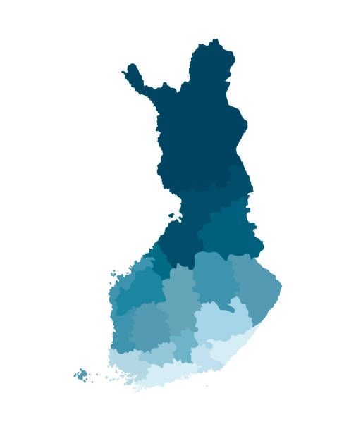
Finland political map of administrative divisions - regions and one autonomous region of Aland. Solid blue blank vector map with white borders.
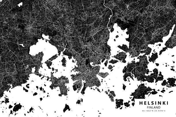
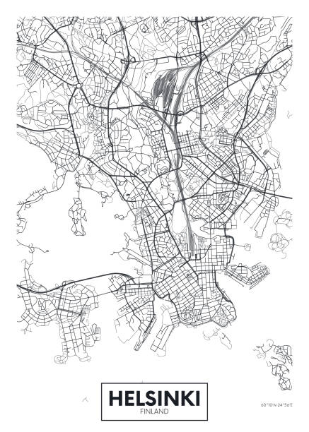
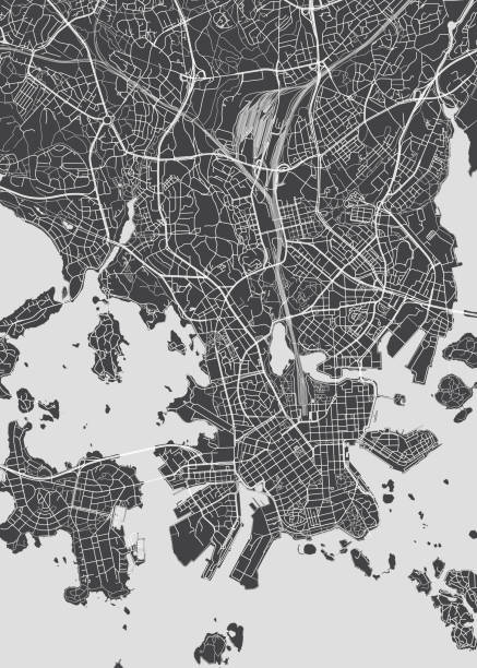
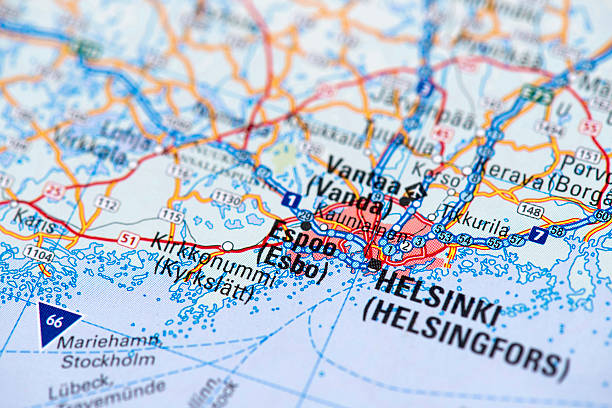
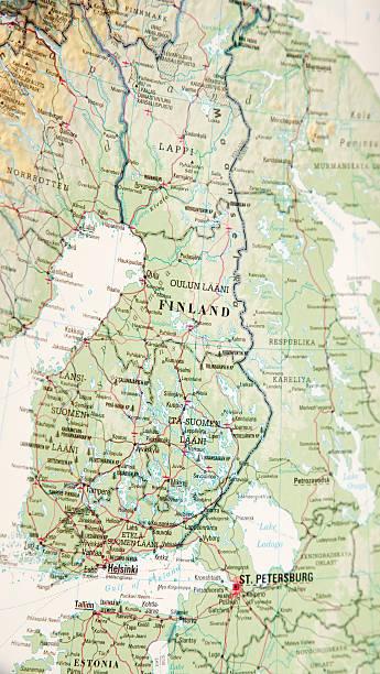
Topographic / Road map of Helsinki, Finland Map data is open data via openstreetmap contributors. All maps are layered and easy to edit. Roads are editable stroke.
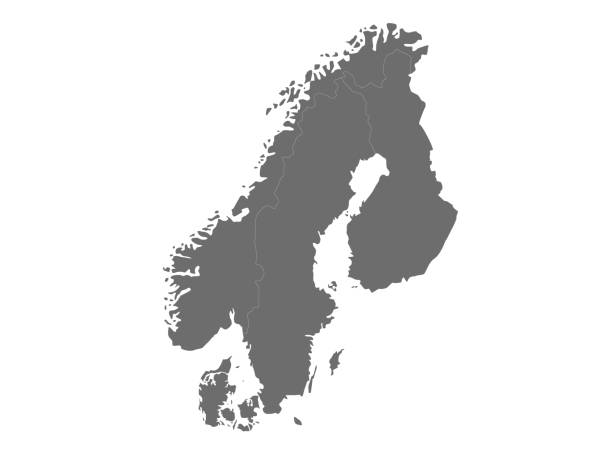
Map of Norway Sweden and Finland
vector illustration of Finland map
Highly detailed physical map of Finland,in vector format,with all the relief forms,regions and big cities.
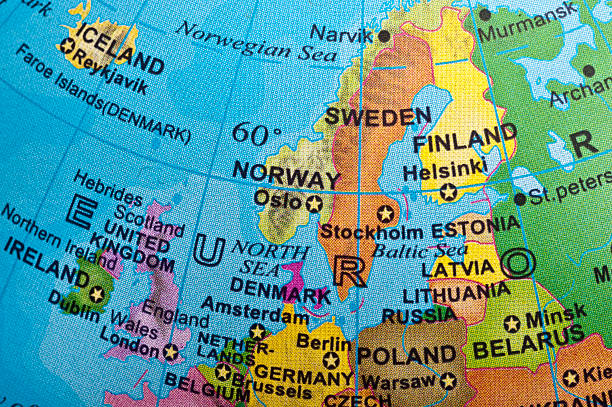
Northern Europe in a small desktop globe (this picture has been shot with a High Definition Hasselblad H3D II 31 megapixels camera and 120 mm f4H Hasselblad macro lens)
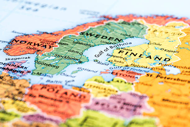
Map of Scandinavian Countries. Detail from the World Atlas.
map of northern europe
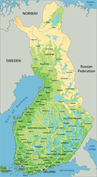
High detailed Finland physical map with labeling. Organized vector illustration on seprated layers.
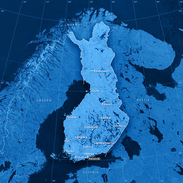
3D rendering and image composing: Topographic Map of Finland. Accurate longitude and latitude lines. High resolution available! High quality relief structure!

Scandinavia map isolated on white background. Map sweden, norway, denmark and finland. Vector stock
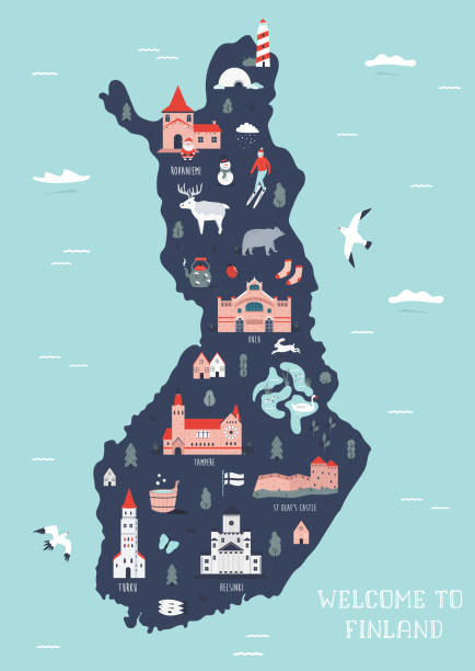
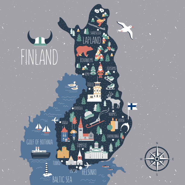
Vector illustrated map of Finland with famous landmarks, buildings, symbols. Design for poster, tourist leaflets, guides, prints
Vector illustration

vector illustration of Nordic countries map
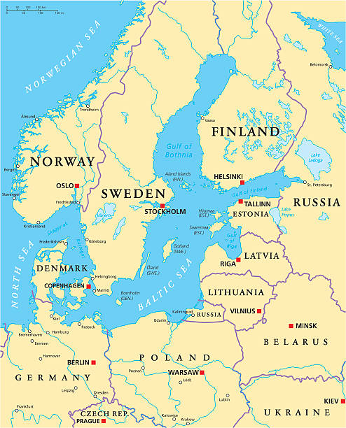
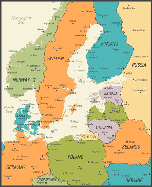
Baltic Sea Area Political Map with capitals, national borders, important cities, rivers and lakes. English labeling and scaling. Illustration.
vector illustration of Finland map
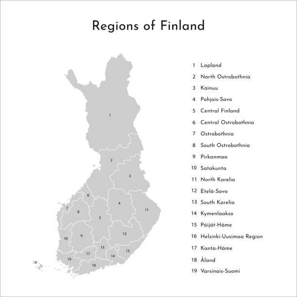
Vector isolated simplified map of Finland regions. Borders and names of administrative divisions. Grey silhouette, white outline and background
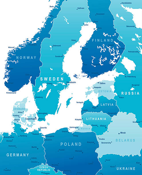
Highly detailed vector map of Baltic Sea Area with states, capitals and big cities
vector illustration of Scandinavian countries map
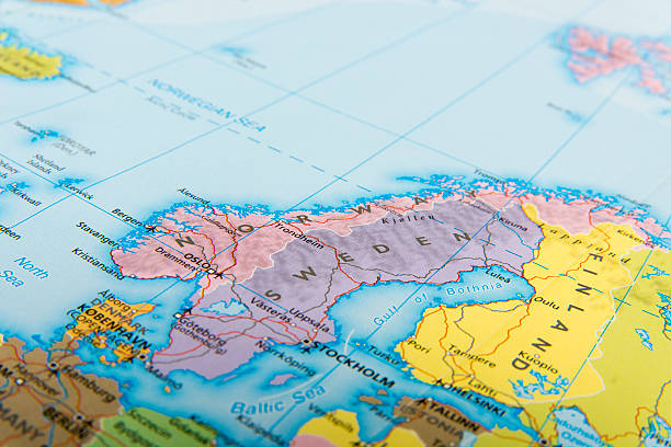
Map of Norway, Sweden and Finland.
Map of Scandinavia
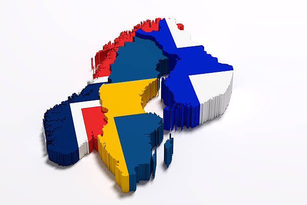
3d rendering of Scandinavian peninsula map and flags
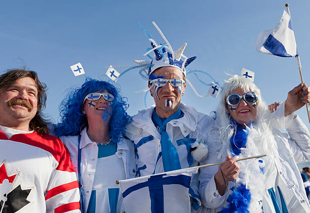
Helsinki, Finland - May 14, 2012: Ice Hockey Fans waiting for Kazakhstan VS Finland game to start in 2012 Ice Hockey World Championship in Finland and Sweden at Hartwall Arena
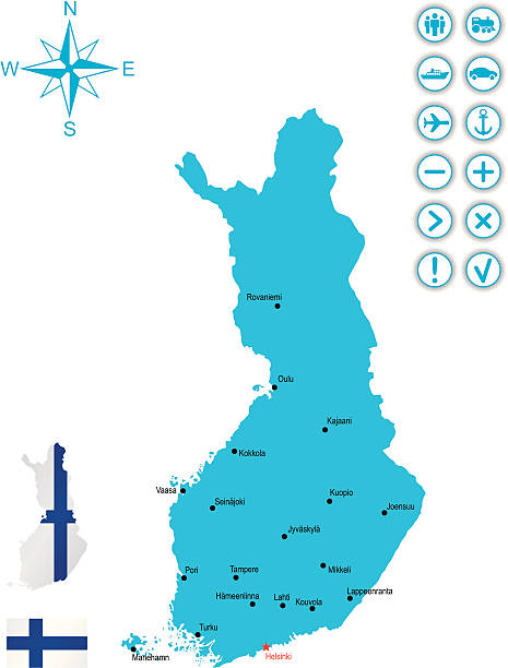
http://dikobraz.org/map_2.jpgDetailed map of Finland with capital, flag and navigation icon
Detailed map of Finland.
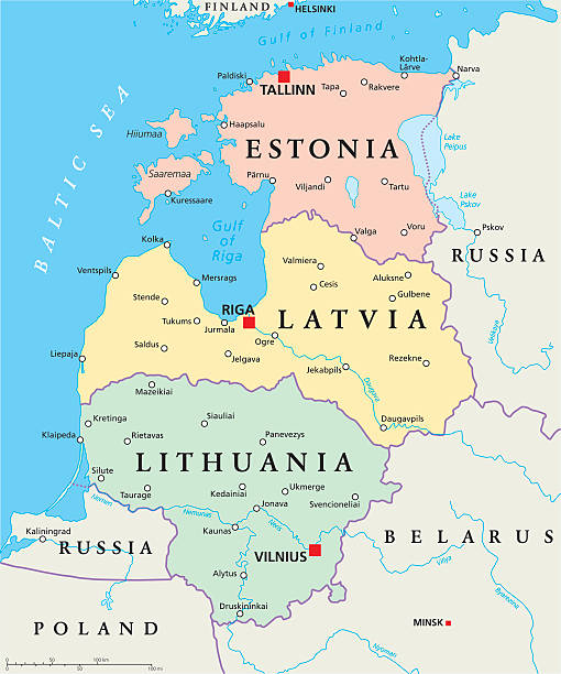
Baltic States Political Map. Estonia, Latvia and Lithuania with capitals Tallinn, Riga and Vilnius. With national borders, important cities, rivers and lakes. English labeling and scaling.