Cyclone Mocha will build up over the Southeast Bay of Bengal and turn into a severe to very severe cyclonic storm after May 8 and lash the Bangladesh or the Myanmar coast on May 12 or May 13, the Indian Meteorological Department (IMD) communication based on model analysis indicated on Friday.
Senior IMD experts, however, admitted that it is difficult to predict the likely path and landfall point till the low-pressure area is formed; and observed that the landfall may happen at any point on the coastline along Odisha to Myanmar, including West Bengal.
The IMD communiqué said, “Details of its path and intensification to be provided after the formation of the low-pressure area”; but the model analysis accompanied with the report hinted about the intensification and path.
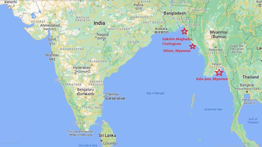
IMD GFS model indicates “nearly northeastwards movement towards Bangladesh coast and crossing over Bangladesh coast near 91.5 E (around Chattogram area) around 13/000 UTC (May 13, 5.30 am Indian time)” and also indicates the possibility of “intensification up to very severe cyclonic storm (VSCS) category.”
Model NCEP GFS indicates “SCS (severe cyclonic storm) around May 10 over Andaman Islands, (will move) nearly northwards movement and crossing over Myanmar near 20.7N/92.4E (Sittwe, Myanmar) around 13/0900 UTC (May 13, 2.30 pm Indian time).
Another model ECMWF is indicating “intensification into cyclonic storm around May 11 and north-northeastwards movement … crossing over Myanmar coast near 16.5N/96.5E (near Kala-ywa, Myanmar) around 12/1200 UTC (May 12, 5:30 am Indian time).
IMD points out that though “there is large divergence among various models with regard to the tract … overall ECMWF & GFS group of models are indicating nearly northwards/north-northeastwards movement and crossing over southeast Bangladesh-South Myanmar coasts.”
“Nothing can be categorically said about the path till the low pressure is formed, but most models indicate Bangladesh and Myanmar as the possible landfall points,” said Mrutinjoy Mohapatra, director general of IMD to The Plurals.
KJ Ramesh, former IMD director general, explains that at least eight model inputs are used, and unless the low pressure occurs and the location gets fixed; it is not possible to predict the exact tract; “Once the low-pressure area gets fixed, the likely path and other details can be predicted based on simulation with most models agreeing on the tract”.
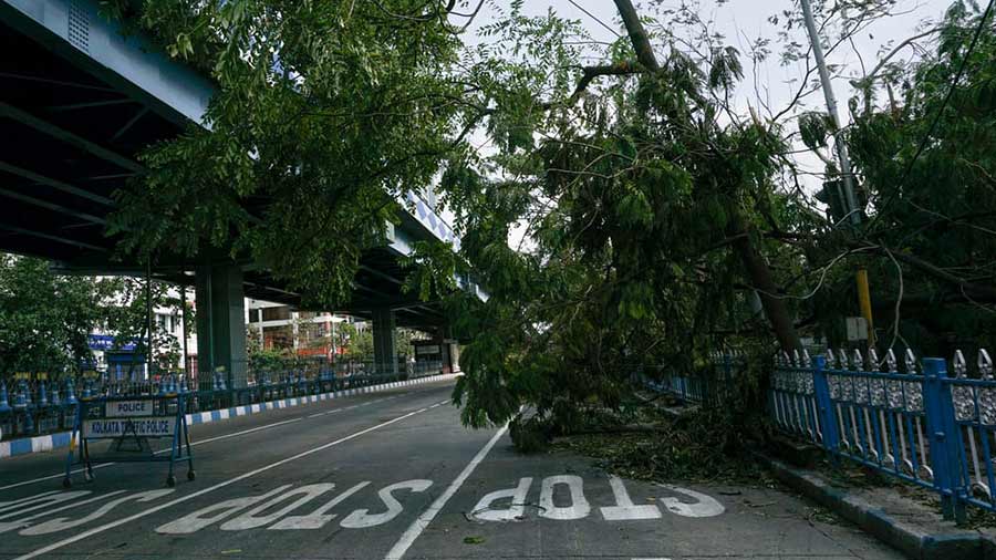
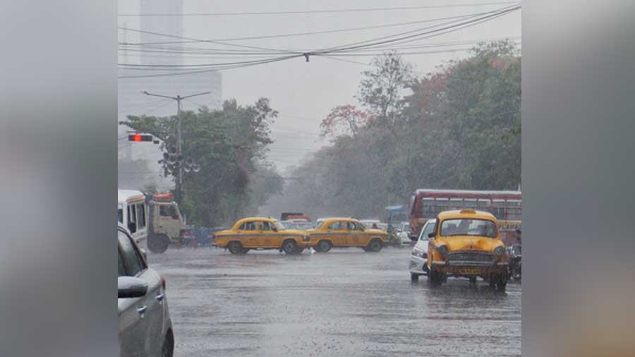
A senior IMD, Kolkata official reminded that during May, cyclones generally affect the coastal areas from Orissa to Myanmar; and opined that Bengal coast is not risk-free. “Even if the cyclone hits Bangladesh, it is expected that the coastal areas of West Bengal and south Bengal will be affected by the cyclone with high winds and rainfall,” said another expert pointing out that the projected Bangladesh landfall location is around 250 km away from West Bengal border.
“Though we do not know how much impact the cyclone will have on West Bengal; we are getting prepared. We are readying the cyclone shelters and will also release about Rs 50 crore to the irrigation department for carrying out urgent work at vulnerable areas,” said a senior Bengal government official on Friday; reminding that the chief secretary has already started talking with the more risk-prone districts and areas.