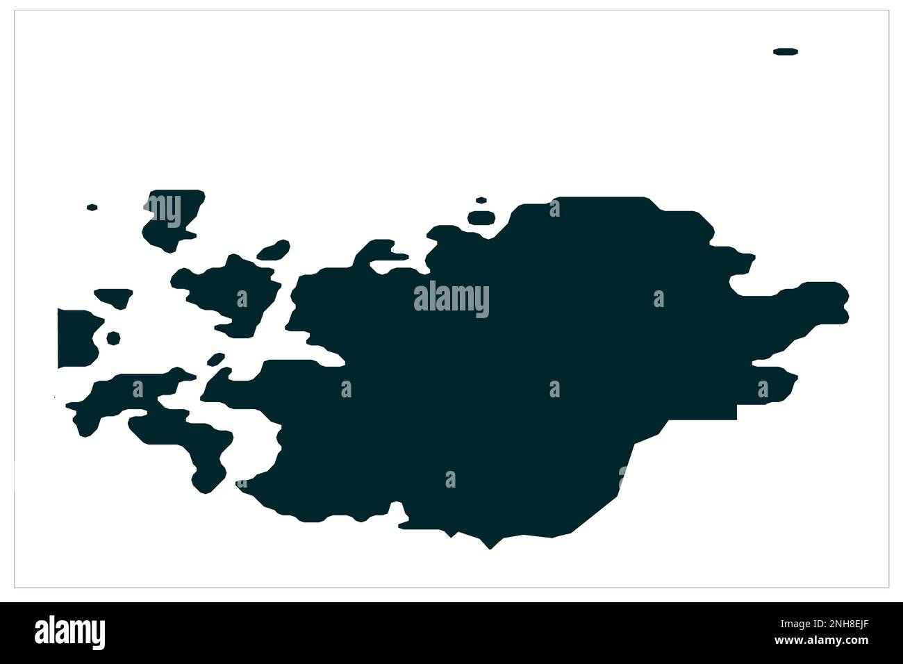
Geta Aland Island map illustration on white bckgorund , Geta map illustration , Geta Municipality Aland Islands
RFID:Image ID:2NH8EJF
Image details
Contributor:
Dipesh Rai / Alamy Stock PhotoImage ID:
2NH8EJFFile size:
125.1 MB (458.9 KB Compressed download)Releases:
Model - no | Property - noDo I need a release?Dimensions:
8100 x 5400 px | 68.6 x 45.7 cm | 27 x 18 inches | 300dpi