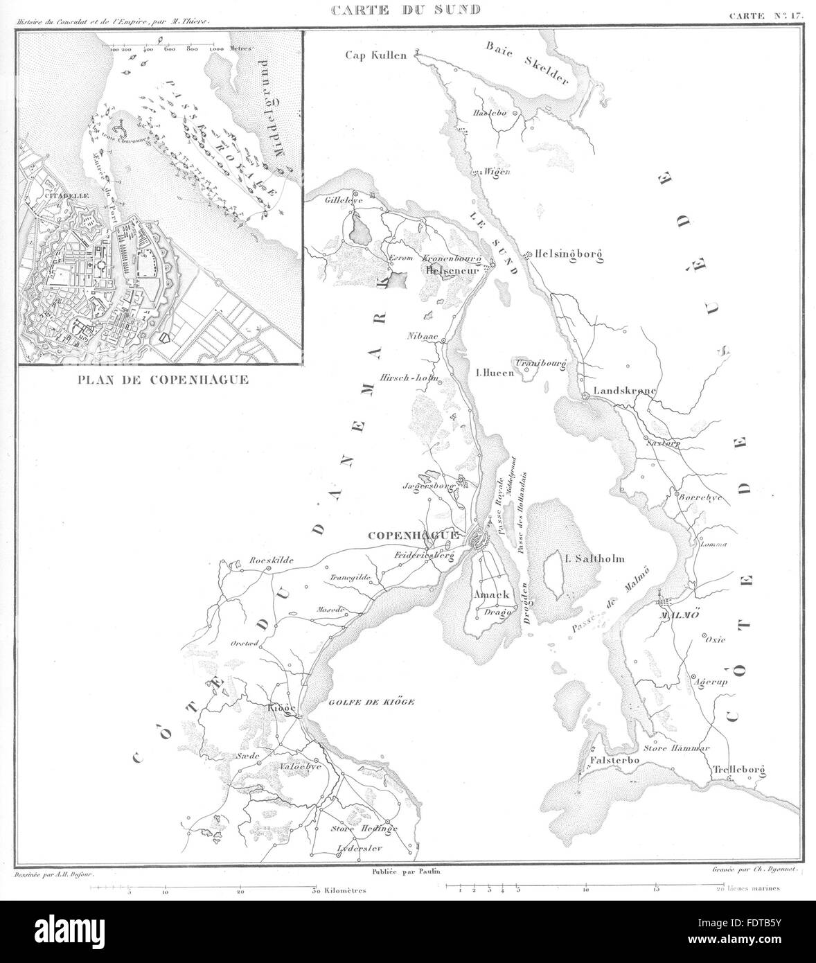
DENMARK: Carte du Sund; Inset map Plan Copenhagen, 1859
RFID:Image ID:FDTB5Y
Image details
Contributor:
Antiqua Print Gallery / Alamy Stock PhotoImage ID:
FDTB5YFile size:
17.4 MB (584.6 KB Compressed download)Releases:
Model - no | Property - noDo I need a release?Dimensions:
2347 x 2590 px | 19.9 x 21.9 cm | 7.8 x 8.6 inches | 300dpiDate taken:
1859Location:
DenmarkMore information:
This image could have imperfections as it’s either historical or reportage.
Artist/engraver/cartographer: Engraved by Ch. Dyonnet; Drawn by A.H. Dufour . Provenance: "Atlas de l'histoire du consulat et de L'Empire", Dressé et Dessiné Sous la direction de M. Thiers, Par MM. A. Dufour et Duvotenay; Published by Paulin, Lheureux et Cie, Paris. Type: Antique engraved map.